What is recorded here
At the centre of cashel (ME009-092----) is a hut-site evident as a subcircular area (int. dims 6.7m N-S; 5m E-W) defined by an earth and stone bank (Wth c. 1-3m; int. H 0.1m; ext. H 0.4m) with a possible entrance at NNW.
Compiled by: Michael Moore
Date of upload: 2 November 2018
The monument record does not grant public access. Check the route and ask the landowner before entering private land.
- What survives
- Recorded monument
Places near here
 IndicatedFairy fort / stone ringfort · 2 yd
 Enclosure in Newcastle (fore By.)Enclosure · 305 yd
 Site of Old CastleCastle, unclassified · 1545 yd
 Fennor RockMountain / peak · 1.2 mi
 IslandMountain / peak · 1.3 mi
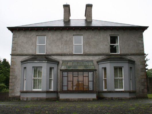 rectory/glebe/vicarage/curate's houserectory/glebe/vicarage/curate's house · 1.5 mi
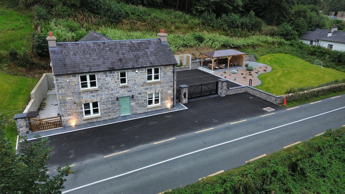 ChurdhChurch · 1.5 mi
 Drumlerry WetlandForest · 1.8 mi
 Knockatemple WoodlandWood · 2.0 mi
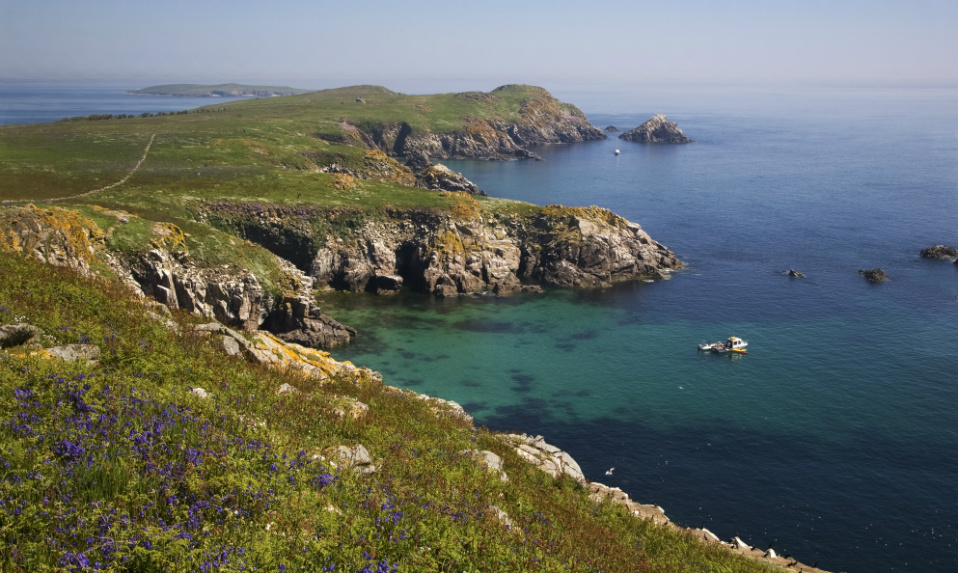 Crossafehin IslandsIslet · 2.0 mi
 Cow and Knockatemple IslandIslet · 2.1 mi
 Memorial CrossMemorial · 2.6 mi