What is recorded here
Located in improved pasture toward the top of a slight SW-facing slope and at the centre of rath (RO011-179----). Magnetic gradiometry and earth resistance surveys identified a subcircular area of medium resistance (diam. c. 8m) that could be interpreted as a hut-site while a central feature within it could be a hearth or a pit. Areas of high resistance outside the hut to the W and S could represent areas of paving. (Curran 2016)
Compiled by: Michael Moore
Date of upload: 8 June 2018
The monument record does not grant public access. Check the route and ask the landowner before entering private land.
- What survives
- Recorded monument
Places near here
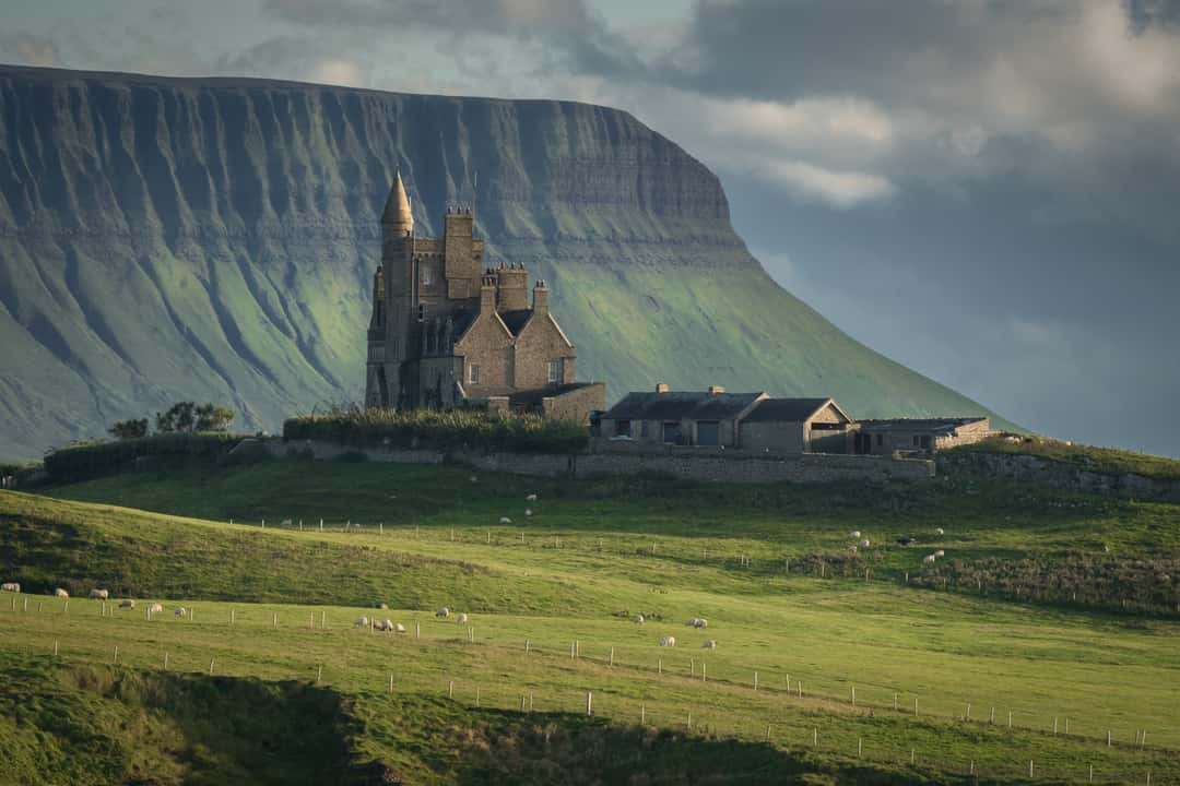 Enclosure in MullaghmoreEnclosure · 299 yd
 IndicatedFairy fort / earthen ringfort · 309 yd
 Carrick-on-Shannon Railway Stationrailway station · 808 yd
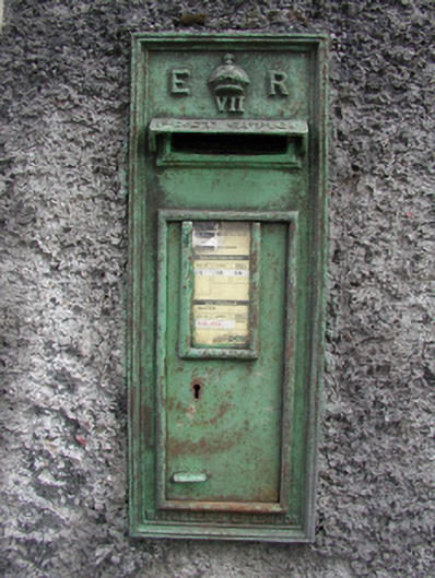 post boxpost box · 1694 yd
 Moon RiverHeritage attraction · 1.1 mi
 Hughestown WoodForest · 2.4 mi
 Castle (Site of)Castle, unclassified · 3.7 mi
 Mullinashee WoodForest · 4.1 mi
 Patrick Gill Memorial Plaque (IRA)Monument · 4.3 mi
 Robert Strawbridge MemorialMemorial · 4.4 mi
 Site of Dangan CastleCastle, unclassified · 4.4 mi
 Leabaidh DermotCave · 5.8 mi