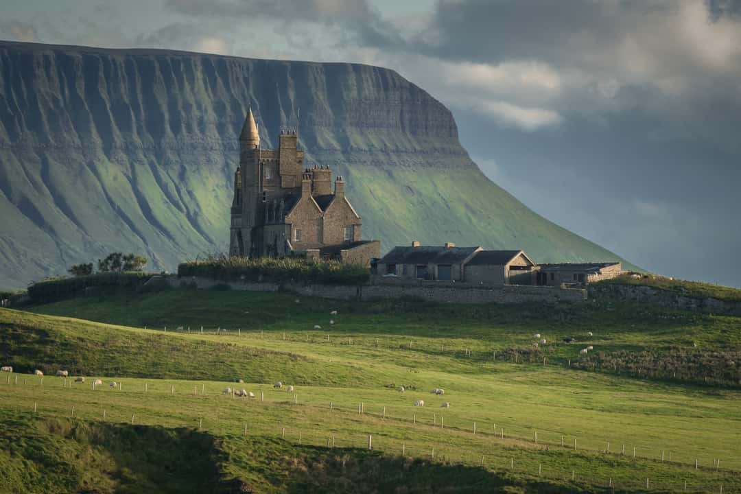
What is recorded here
Situated in improved pasture, on a gentle SW-facing slope. It was first identified by Susan Curran as part of an M.A. thesis with University College Dublin using a LiDAR survey dataset commissioned by Leitrim County Council and the National Roads Authority. This is a rectangular area (dims 26m NE-SW; 22m NW-SE) defined by low scarps (at NW: Wth 1m; H 0.2m), except at SE where it merges into the slope. There are traces of a fosse (at NW: Wth of top 3.8m; Wth of base 2m; ext. D 0.1m) on each side, except the SE. An entrance (Wth of top 5m) is visible as a slight dip in the lip of the scarp at the N end of the NW side.
Compiled by: Michael Moore
Date of upload: 12 May, 2015
A local fairy fort (ringfort/rath); wider significance not recorded.
The monument record does not grant public access. Check the route and ask the landowner before entering private land.
- What survives
- Recorded monument
Places near here
 IndicatedFairy fort / earthen ringfort · 578 yd
 Embanked enclosureFairy fort / stone ringfort · 961 yd
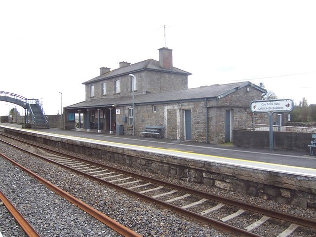 Carrick-on-Shannon Railway Stationrailway station · 1105 yd
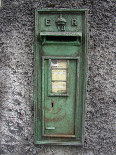 post boxpost box · 1.1 mi
 Moon RiverHeritage attraction · 1.2 mi
 Hughestown WoodForest · 2.5 mi
 Castle (Site of)Castle, unclassified · 3.6 mi
 Mullinashee WoodForest · 4.0 mi
 Patrick Gill Memorial Plaque (IRA)Monument · 4.4 mi
 Site of Dangan CastleCastle, unclassified · 4.4 mi
 Robert Strawbridge MemorialMemorial · 4.5 mi
 Leabaidh DermotCave · 6.0 mi
Other information
Photo: Credit not shown in the picture search · Rights wording not checked; contact us if this picture should be removed