What is recorded here
Listed as Moneynaboola (Costello 2016, 96; Costello 2016, 302). A roughly rectangular drystone-walled hut (ext. dims. 6.9m x 5m; int. dims. 3.9m x 3.1m) aligned NW-SE, with entrance (Wth 0.5m) in NE corner. Located on gently-sloping ground with mixed vegetative cover of heather, sedge and grass. Walls (avg. int. H 0.9m; Wth 0.9m) not coursed but stones well-set in peat packing. Circular-shaped structure annotated 'Sheepfold' on 25-inch OSi map, so it may have been re-used for this purpose. Indeed, rubble rebuild is evident along the tops of the walls. Originally, however, it is likely to have been a roofed booley hut (Costello 2016, 93).
See attached photograph courtesy of Dr. Eugene Costello
Compiled by: Dr Eugene Costello
Date of upload: 26 August 2020
The monument record does not grant public access. Check the route and ask the landowner before entering private land.
- What survives
- Recorded monument
Places near here
 Giant's Rock - Rock of AglaishNamed rock · 776 yd
 Noel's NippleNamed rock · 990 yd
 Hut site in DrumleaghHut site · 991 yd
 Lough CurraWalking route · 1050 yd
 CurraghMountain / peak · 1080 yd
 KyleEnclosure · 1681 yd
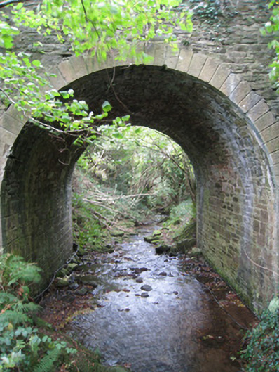 Longford Bridgebridge · 1.2 mi
 Site of Dungrot CastleCastle, unclassified · 1.4 mi
 Dungrot Bridgebridge · 1.4 mi
 Lough Curra MoundMountain / peak · 1.5 mi
 Ballynacourty HouseCastle, unclassified · 1.7 mi
 Glengarra WoodWood · 2.0 mi