What is recorded here
Just E of the centre of rath (RO016-094001-). A curving scarp (C 10m; H 0.3-0.5m) W-N-E may be the possible hut-site noted by Gannon (1972).
Compiled by: Michael Moore
Date of upload: 24 August 2010
The monument record does not grant public access. Check the route and ask the landowner before entering private land.
- What survives
- Recorded monument
Places near here
 TobernaveanHoly well · 546 yd
 Church WellHoly well · 614 yd
 Church (in Ruins)Church · 685 yd
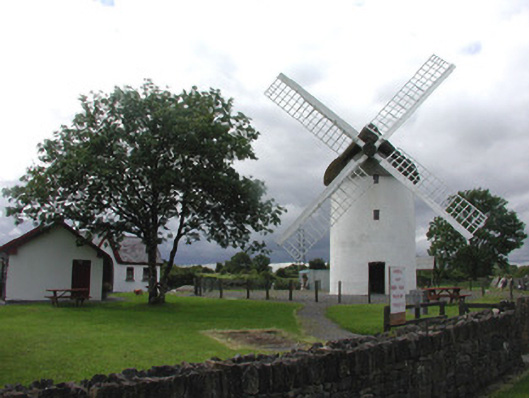 mill (wind)mill (wind) · 1.1 mi
 War of Independence Commemorative Military MemorialMemorial · 1.6 mi
 Castle (Site of)Castle, unclassified · 3.1 mi
 Coolnahinch WoodWood · 4.9 mi
 European ashEuropean ash · 6.2 mi
 GortnacushlaunCastle, unclassified · 6.5 mi
 Bawn IslandIslet · 9.4 mi
 Patrick Gill Memorial Plaque (IRA)Monument · 9.8 mi
 Rose PointHeadland · 10.0 mi