What is recorded here
First identified in testing (03E1975) by Melanie McQuade of Margaret Gowan and Co. in advance of a new road at the NW edge of Waterford city (McQuade 2006a, 503), and subsequently fully excavated (03E1879) by the same excavator. A circular hut-site (diam. 3.2m) was defined by a slot-trench (Wth 0.12-0.19m) with post-holes defining the entrance (Wth 0.4m) at SE, and with a central post-hole. There were a number of small pits in the area and a large hearth (diam. 1-1.2m; D 0.06-0.14m) with stake-holes 7.4m to the SW, which might be contemporary, but features with Neolithic carinated pottery are also present (WA009-027----). Enclosure (WA009-031----) is c. 100m to the NE. (McQuade 2006)
McQuade, M. (2006a) Knockhouse Lower/Carrickpherish/Bawndaw. Potential hearth and pit. in I. Bennett (Ed.) Excavations 2003: summary accounts of excavations in Ireland, 503, No. 1900. Wordwell. Bray.
McQuade, M. (2006b) Knockhouse Lower. Hut, hearth and series of pits. in I. Bennett (Ed.) Excavations 2003: summary accounts of excavations in Ireland, 504-05, No.1905. Wordwell. Bray.
Compiled by: Michael Moore
Date of upload: 26 August 2010
The monument record does not grant public access. Check the route and ask the landowner before entering private land.
- What survives
- Recorded monument
Places near here
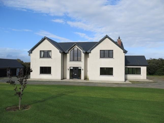 Habitation site in Knockhouse LowerHabitation site · 1 yd
 Enclosure in Knockhouse LowerEnclosure · 138 yd
 Kiln in Knockhouse LowerKiln · 523 yd
 Native Irish Tree TrailWood · 1.0 mi
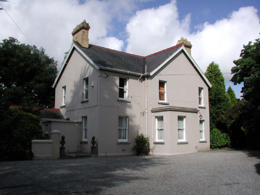 Tycor Househouse · 1.0 mi
 Native Woodland Trust:Grace Dieu ReserveWood · 1.3 mi
 French TowerHeritage attraction · 1.8 mi
 Granny CastleCastle, tower house · 1.9 mi
 Corluddy Castle (in Ruins)Castle, tower house · 2.3 mi
 Mount Congreve GardensHeritage attraction · 2.6 mi
 Sugar Loaf RockMountain / peak · 3.0 mi
 Ballyscanlon HillMountain / peak · 6.5 mi