
What is recorded here
This site was first identified by Geophysics conducted for Sineád Phelan of Margaret Gowan and Co. when it was recorded as an enclosure (int. diam. c. 33m) defined by a single ditch, which appears to be wholely missing SE-SSW of the centre. The enclosure was confirmed by Sineád Phelan in two trenches (03E0375) (Phelan 2006, 503, No. 1901). The site was subsequently completely excavated (03E1033) by Áine Richardson. It has been dated to the middle Bronze Age (Walsh and Sutton 2015, 3).
Compiled by: Michael Moore
Date of upload: 24 August 2010
A local fairy fort (ringfort/rath); wider significance not recorded.
The monument record does not grant public access. Check the route and ask the landowner before entering private land.
- What survives
- Recorded monument
Places near here
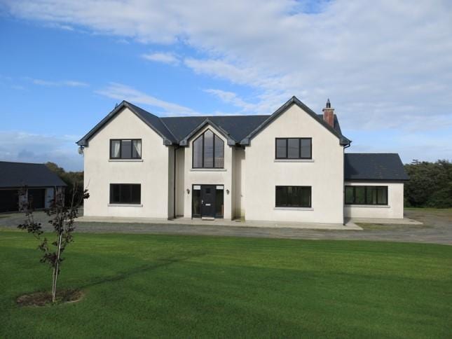 Habitation site in Knockhouse LowerHabitation site · 138 yd
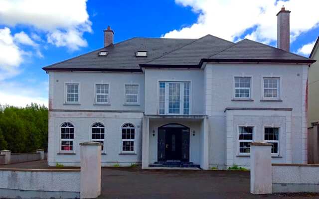 Man-made underground passage in Knockhouse LowerMan-made underground passage · 370 yd
 Kiln in Knockhouse LowerKiln · 390 yd
 Native Irish Tree TrailWood · 1709 yd
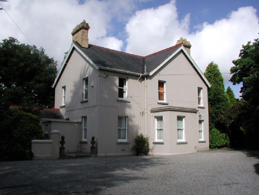 Tycor Househouse · 1.1 mi
 Native Woodland Trust:Grace Dieu ReserveWood · 1.2 mi
 French TowerHeritage attraction · 1.8 mi
 Granny CastleCastle, tower house · 1.9 mi
 Corluddy Castle (in Ruins)Castle, tower house · 2.2 mi
 Mount Congreve GardensHeritage attraction · 2.6 mi
 Sugar Loaf RockMountain / peak · 3.0 mi
 Ballyscanlon HillMountain / peak · 6.5 mi
Other information
Photo: Credit not shown in the picture search · Rights wording not checked; contact us if this picture should be removed