
What is recorded here
In former agricultural land which had been tilled. This monument was completely excavated in advance of a development by West Pharmaceutical Products Ireland Ltd. (Excavation Licence number 15E0260). A sub-rectangular kiln (dims. L 1.7m; Wth 1m; D 0.23m) for producing charcoal. It had steep sides and a flat base. The primary fill was a charcoal deposit, the remains of the wood charcoal from the last firing of the kiln. (Walsh and Sutton 2015, 2, 10).
Compiled by: Jean Farrelly
Date of upload: 12 January 2016
The monument record does not grant public access. Check the route and ask the landowner before entering private land.
- What survives
- Recorded monument
Places near here
 Field system in Knockhouse LowerField system · 193 yd
 Man-made underground passage in Knockhouse LowerMan-made underground passage · 216 yd
 Native Irish Tree TrailWood · 1561 yd
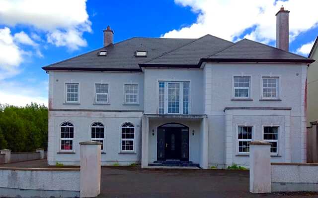
 Gracedieu Househouse · 1620 yd
 Native Woodland Trust:Grace Dieu ReserveWood · 1717 yd
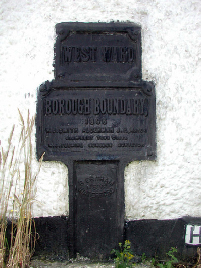 ward boundary markerward boundary marker · 1.1 mi
 Granny CastleCastle, tower house · 1.7 mi
 French TowerHeritage attraction · 1.9 mi
 Corluddy Castle (in Ruins)Castle, tower house · 2.0 mi
 Mount Congreve GardensHeritage attraction · 2.5 mi
 Sugar Loaf RockMountain / peak · 3.2 mi
 Ballyscanlon HillMountain / peak · 6.7 mi
Other information
Photo: Credit not shown in the picture search · Rights wording not checked; contact us if this picture should be removed