What is recorded here
Large oval cashel KE035-054---- situated on a N facing slope overlooking Brandon Bay. The ruined remains of 4 hut-sites are traceable in the interior.
(4) Abutting the NW side of (3) is a less well-preserved hut, c. 4.3m in internal diameter. The inner wall face can be traced for most of the circumference, except for a confused gap at N. It survives to a maximum height of .45m; the outer face is not visible.
Other spreads of stone and ill-defined mounds and hollows in the immediate vicinity do not form any recognisable pattern but may indicate additional huts.
The above description is derived from J. Cuppage, ‘Corca Dhuibhne. Dingle Peninsula archaeological survey. Ballyferriter. Oidhreacht Chorca Dhuibhne’ (1986), no. 575. In certain instances the entries have been revised and updated in the light of recent research.
Date of upload: 7 August 2013
The monument record does not grant public access. Check the route and ask the landowner before entering private land.
- What survives
- Recorded monument
Places near here
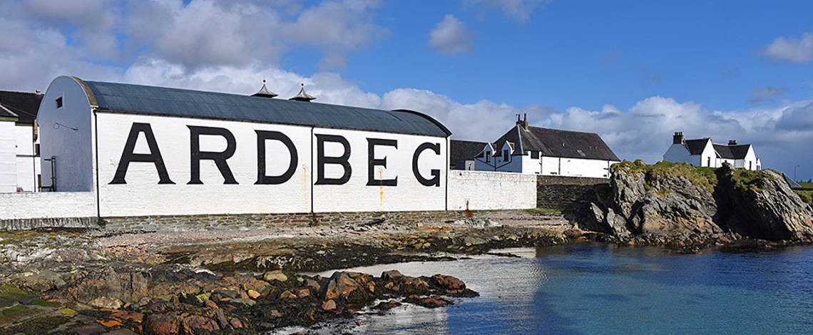 Man-made underground passage in Ardbeg,gowlane (corkaguiny By.)Man-made underground passage · 1654 yd
 Hillville WoodWood · 1.1 mi
 TobermurryHoly well · 1.2 mi
 Stradbally Church (in ruins)Church · 1.4 mi
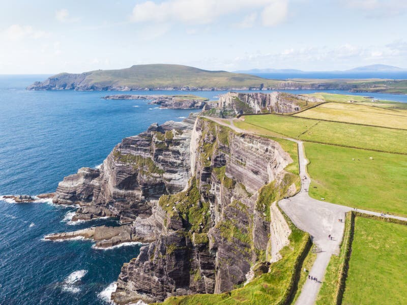 An Com BánMountain / peak · 1.5 mi
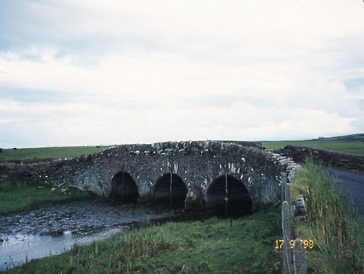 bridgebridge · 1.6 mi
 Site of CastleCastle, unclassified · 1.6 mi
 Binn os GaoithMountain / peak · 1.7 mi
 IndicatedCastle, tower house · 2.3 mi
 Fermoyle BeachBeach / strand · 2.5 mi
 Drom BeachBeach / strand · 2.6 mi
 An t'Oileán DubhIslet · 2.9 mi