
What is recorded here
In undulating upland pasture, on a NW-facing slope with good views from NE-E-S-SW, 150m SW of a townland boundary with Pallashill. Situated within field system (LI024-044001-). Monument surveyed by the ASI in 2008 and described as a subcircular-shaped area (2.8m E-W; 2m N-S) defined by a low bank (Wth 1.9-2.2m; int. H 0.05-0.2m; ext. H 0.25m) from SSW-W-N-E-SSE. There is a possible entrance where there is a break in the bank from SSE-S-SSW. Monument is visible as a subcircular-shaped area (8.5m NW-SE; 7m NE-SW) on OSi orthoimage taken 2005-2012, on Digital Globe orthoimage taken 2011-2013 and on Google Earth orthoimage taken 18/11/2018.
See attached Google Earth orthoimage taken 18/11/2018.
Compiled by: Alison McQueen and Vera Rahilly
Date of upload: 15 October 2020
The monument record does not grant public access. Check the route and ask the landowner before entering private land.
- What survives
- Recorded monument
Places near here
 Enclosure in Glen (clanwilliam By.)Enclosure · 156 yd
 Field system in Glen (clanwilliam By.)Field system · 162 yd
 KnockseefinMountain / peak · 491 yd
 (Site of) Nicker CastleCastle, unclassified · 676 yd
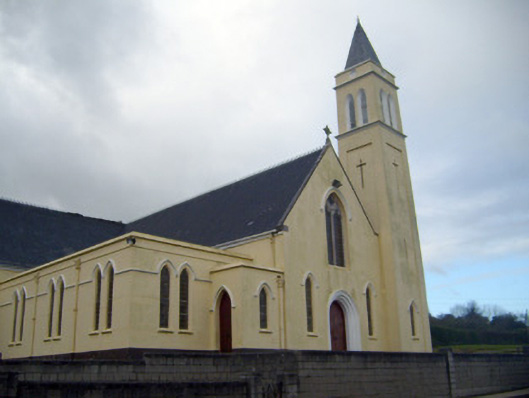 Catholic Church of Saint John the Baptistchurch/chapel · 771 yd
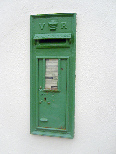 post boxpost box · 798 yd
 Pallas MoatCastle, motte · 1.0 mi
 ToberagaddySpring · 1.5 mi
 St. Patrick's WellSpring · 2.6 mi
 Kilteely HillMountain / peak · 3.1 mi
 Flat cemetery in Knockainy WestFlat cemetery · 7.0 mi
 Hut site in Glen (clanwilliam By.)Hut site · 170 yd
Other information
Photo: Credit not shown in the picture search · Rights wording not checked; contact us if this picture should be removed