What is recorded here
Tony Miller identified the tiny Derrymaclavlode shelter as a steep-slope refuge with a surviving dry-stone wall, barely large enough for one person to sit beneath. It faces east through the Pap valley, west toward the Killarney mountains and south over the Clydagh River, turning a narrow stone arc into a wide chamber of weather and distance. Whoever built it may have watched rain arrive from three directions before choosing when to leave.
Identified and described by Tony Miller as; 'Situated on a steep, heather clad slope on a route to the western peak of the Paps. Views to the east over the valley running from between the Paps and to the west towards the Killarney mountains and to the south over the Clydagh River valley. A very small sub-circular hut site or shelter partially dug into the steep slope. The back wall consist of dry stone walling to a maximum height of c.1.2m. The remaining walls are collapsed. It is small measuring just c. 1.6m in diameter'.
Compiled by: Caimin O'Brien based on details provided by Tony Miller.
The monument record does not grant public access. Check the route and ask the landowner before entering private land.
- What survives
- Recorded monument
Places near here
 The Paps WestMountain / peak · 777 yd
 The Paps EastMountain / peak · 1166 yd
 Field boundary in DerrymaclavlodeField boundary · 1360 yd
 Field boundary in DerrynafinniaField boundary · 1681 yd
 KilnKiln, lime · 1.0 mi
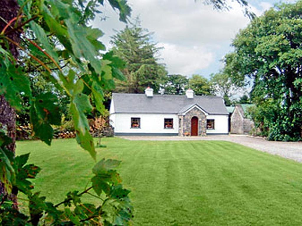 Clydagh LodgeCountry house · 1.4 mi
 BarraduffMemorial · 4.3 mi
 Killaha Castle (in Ruins)Castle, tower house · 4.9 mi
 Cascade WoodWood · 6.2 mi
 Castle (Site of)Castle, unclassified · 6.4 mi
 Nohaval WoodWood · 6.7 mi
 Sli Gaeltacht MuscraiWalking route · 7.5 mi