What is recorded here
Hut site in Dernish Island is a hut site in Dernish Island, County Sligo, Ireland. It occupies a rough pasture terrace on the southwest side of the island, where ground falls 15 to 20 metres toward the shoreline. A sod-covered bank encloses a roughly oval depression measuring 6 metres east-west and 4.5 metres north-south, with the interior sunk 0.4 metres below the outside ground. The northern bank is well defined at 1 to 1.4 metres wide, but the southeast section is irregular at 1.5 to 2.5 metres wide with a slumped inner face.
In rough, pasture, located on a terrace on a SW-facing slope, on the SW side of Dernish Island. Ground falls away at W−SW for c. 15-20m to the shoreline.
Roughly oval, sunken area (c. 6m E−W; c. 4.5m N−S) enclosed by a sod-covered bank. The interior is sunken to a depth of c. 0.4m below exterior ground level. Stones protrude from the bank in parts. The N arc of the bank (W 1-1.4m, int. H 0.6m; ext. H 0.2m at N) is quite well-defined, but at SE the bank appears more irregular, and varies in width (Wth 1.5-2.5m), with a broadly slumped, possibly disturbed, internal face. At SW the bank takes the form of an inward-facing scarp, which does not have a clearly defined external edge, but appears to merge with the natural slope. There are breaks (Wth 0.4-0.5m) in the bank at W, E and SSE; those at W and E may be the result of erosion by farm stock. The break at SSE may be an entrance feature; the E terminal of this gap has a linear extension (L 2m) to S, mirrored on the W side by a rise from which a large stone protrudes. The remains as a whole are low-profile and rather irregular, and are covered by ferns and brambles. This may be some form of hut, date and exact function uncertain.
Imges:
SL002-056----_01.JPG Viewed from W
SL002-056----_02.JPG Viewed from NE
Compiled by: Jane O'Shaughnessy
Date of upload: 1 August 2017
The monument record does not grant public access. Check the route and ask the landowner before entering private land.
- What survives
- Recorded monument
Places near here
 Tober PatrickHoly well · 109 yd
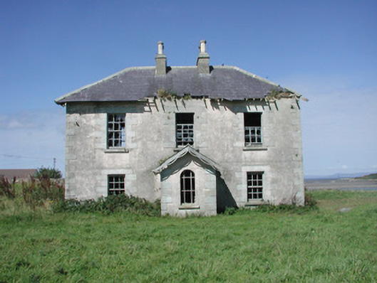 Mount Temple Housefarm house · 685 yd
 Enclosure in Conor's IslandEnclosure · 949 yd
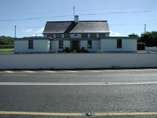 Carn National Schoolschool · 1134 yd
 Connors IslandIsland · 1.0 mi
 InishnagorIslet · 1.6 mi
 Trawalua StrandBeach / strand · 1.7 mi
 CastleCastle, unclassified · 2.1 mi
 Classiebawn WoodsWood · 2.6 mi
 Streedagh BeachVisitor information · 2.6 mi
 Atlantic SheepdogsHeritage attraction · 2.7 mi
 Unbaptised Children MonumentMemorial · 3.0 mi