
What is recorded here
In pasture, located at the NE end of Conor’s Island, at the NE end of the Streedagh peninsula. The outline of this enclosure is very low profile, and difficult to trace at ground level. Aerial views suggest the remains could be interpreted as a large, D-shaped enclosure (c. 80m NE−SW; c. 55m NW−SE), with an internal division curving through the E half. It is possible, however, that the remains represent multiphase activity. The curving internal division, may represents the E boundary of an early oval enclosure (c. 65-70m E−W; c. 50m N−S) which was extended to NE to create the larger enclosure. At ground level, the large enclosure is defined by a sod-covered stone bank (Wth 1.75-2m; H 0.2-0.3m) which can be traced NNE−W in a broad curve. The NNE and W terminals of the bank end at an eroding earth and stone cliff (H 2.5-3m) which defines the straight NW side of the enclosure. The cliff drops to a boulder beach and a rocky shoreline. At SW−W the enclosing stone bank merges with a relict field wall (Wth c. 1m; H 0.2) which extends to E beyond the enclosure and may represent a later phase of activity at the site. An upright stone (0.54m NNE−SSW; 0.4m WNW−ESE; H 1m) stands c. 3m S of the enclosure, on the line of this relict field boundary. A number of low stony banks intersect with the enclosure at S and SE; it is not clear to what extent they are contemporary with the enclosure. There are four sod-covered mounds (SL002-027002-) located to W of centre in the enclosure. They are most likely field clearance heaps associated with cultivation ridges which traverse the interior of the enclosure on a NW−SE axis. Cultivation ridges are also evident in the surrounding field. In 2012 the section face of the enclosure, exposed in the eroding cliff face, was sampled (12E0256) for environmental and dating analysis. A charcoal sample yielded radiocarbon dates ranging from late 17th to late 19th centuries. These late dates may indicate a later reuse of the site (Read 2012).
Compiled by: Jane O'Shaughnessy
Date of upload: 7 September 2016
The monument record does not grant public access. Check the route and ask the landowner before entering private land.
- What survives
- Recorded monument
Places near here
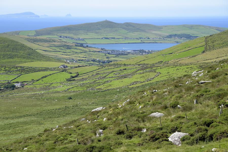 Enclosure in Conor's IslandEnclosure · 472 yd
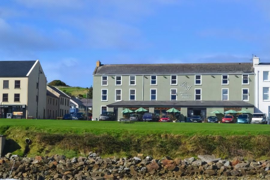 Tober PatrickHoly well · 857 yd
 Connors IslandIsland · 1345 yd
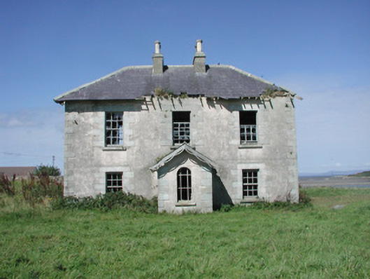 Mount Temple Housefarm house · 1454 yd
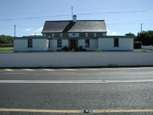 Carn National Schoolschool · 1.1 mi
 InishnagorIslet · 1.6 mi
 Trawalua StrandBeach / strand · 1.9 mi
 CastleCastle, unclassified · 2.2 mi
 Streedagh BeachVisitor information · 2.4 mi
 Atlantic SheepdogsHeritage attraction · 2.7 mi
 Classiebawn WoodsWood · 2.7 mi
 de Cuellar Armada MonumentMemorial · 2.9 mi
Other information
Photo: Credit not shown in the picture search · Rights wording not checked; contact us if this picture should be removed