What is recorded here
Situated on slight rise on top of a fairly broad hill. Inside the SE part of rath (ME001-006----) was a hut-site (diam. 6m) defined by a slight bank (Wth of base 1.9m; int. H 0.25m; ext. H 0.55m). The visible monument had been removed by 2000 (OSAP).
Compiled by: Michael Moore
Date of upload: 31 August 2018
The monument record does not grant public access. Check the route and ask the landowner before entering private land.
- What survives
- Recorded monument
Places near here
 Church (in ruins)Church · 1489 yd
 Grave YardGraveyard · 1492 yd
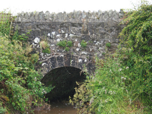 County Bridgebridge · 1505 yd
 EnclosureEnclosure, large enclosure · 1518 yd
 MoatCastle, motte and bailey · 1619 yd
 TeevurcherMountain / peak · 1.2 mi
 Blackhills LowerMountain / peak · 1.4 mi
 Tullynaskeagh EastForest · 1.5 mi
 Tullynaskeagh WestForest · 1.9 mi
 CastleCastle, tower house · 2.1 mi
 Fair of MuffMemorial · 3.9 mi
 Sally IslandIslet · 3.9 mi