What is recorded here
Situated on natural rise of ground or hillock on wet marshy land which has been drained. No surface remains visible. Depicted as a polygonal shaped-enclosure (WM003-051----) or ringfort on 1837 ed. OS 6-inch map. Described in 1973 as a demolished earthwork with the faint remains of a sub-rectangular house site (dims ) on top of the hillock. Possible levelled ringfort (WM003-051---) with rectangular house site in centre of levelled monument. Outline of levelled ringfort barely visible on Digital Globe aerial photograph taken November 2011.
Compiled by: Frank Coyne & Caimin O'Brien
Date of upload: 6 January 2017
The monument record does not grant public access. Check the route and ask the landowner before entering private land.
- What survives
- Recorded monument
Places near here
 Parially HachuredFairy fort / ringfort · 9 yd
 IndicatedFairy fort / earthen ringfort · 437 yd
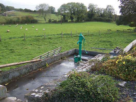 water pumpwater pump · 675 yd
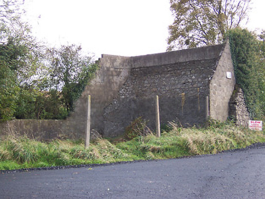 handball alleyhandball alley · 690 yd
 Hilltown Castle (in ruins)Castle, tower house · 1470 yd
 Hachured, dotted outlineCastle, motte and bailey · 1.4 mi
 Mullaghmeen ForestPicnic place · 2.6 mi
 European ashEuropean ash · 2.7 mi
 Rock of CurryCliff · 3.2 mi
 Silver FirSilver Fir · 3.3 mi
 Seafin HillMountain / peak · 3.4 mi
 Zip WireHeritage attraction · 4.7 mi