
What is recorded here
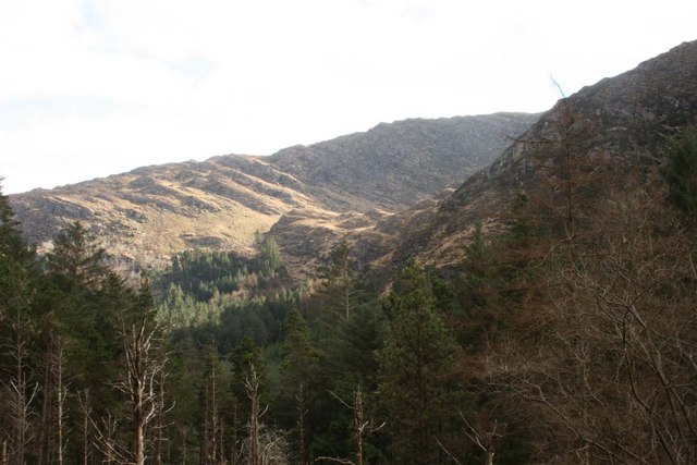
In rough grazing, on an E-W terrace, on a S-facing slope within a coniferous wood. The remains of a rectangular hut site (6m E-W; 3m N-S) defined by the collapsed, moss-covered, roughly built, lower courses of a stone wall (T 0.6m; H 0.4-0.8m). The N wall is cut (D 0.4m) into the upslope to compensate for the hillslope. Moss-covered rubble from the collapsed upper courses is scattered within the level interior. A break (Wth 0.45m) at the W may indicate the location of the entrance. A coniferous tree is growing within the NE corner.
The above description is derived from 'The Archaeological Inventory of County Cork. Volume 5' (Dublin: Stationery Office, 2009).
Date of upload: 22 December 2009
The monument record does not grant public access. Check the route and ask the landowner before entering private land.
- What survives
- Recorded monument
Places near here
 St Finbars WellHoly well · 1461 yd
 BealickMountain / peak · 1468 yd
 Gouganebarra Church (in Ruins)Hermitage · 1481 yd
 European ashEuropean ash · 1498 yd
 Aireagal Naomh Finbarr [Saint Finbarr's Oratory]church/chapel · 1504 yd
 FoilastookeenMountain / peak · 1601 yd
 Gougane BarraValley and heritage place · 1749 yd
 Clapper bridge in Ros An LochaClapper bridge · 1.1 mi
 CaoinkeenCliff · 4.0 mi
 Kilgarvan Motor MuseumMuseum · 5.6 mi
 St Finbarr's Pilgrim RouteWalking route · 5.6 mi
 Battle of Callannbattle · 5.8 mi
Other information
Photo: Credit not shown in the picture search · Rights wording not checked; contact us if this picture should be removed