What is recorded here
Situated on a shelf on a NE and E-facing slope. Archaeological centre-line testing (04E1054) by D. Bayley (2005) at Testing Area 3 of Contract 5 of the M3 motorway (excavations.ie 2004:1223) identified archaeological material that was fully resolved (E003169) by E. Danaher between November 2006 and March 2007 as Chapelbride 4 (excavations.ie 2006:1528). Few stratigraphic relationships could be established, but elements of a field system, a hut-site and another structure as well as a ring-ditch testify to prehistoric activity and two corn-drying kilns extend into the first millennium AD.
Structure A is a circular hut-site (diam. c. 6m) defined by ten degraded post-holes on the perimeter and at least one internal post-hole. Four external post-holes, placed c. 2-3m from the probable line of the wall may have played a function in relation to it. An area of burning (dims 1.32m x 0.82m; D 0.12m) flanked by stake-holes is within the hut-site but against the perimeter at W and is probably a hearth. A sample of alder from it returned a C14 date of 1120-910 cal. BC (Beta 247145) while hazel from one of the post-holes produced a date of 1010-830 cal. BC (Beta 247146). Two large pits (dims 1.64m x 1.2m; D 0.45m: dims 2.17m x 1.24m; D 0.29m) just to the E produced Middle Bronze Age pottery. (O’Hara et al. 2009 3-4)
See the attached plans from O'Hara et al. (2009 figs 9, 10, 11)
Compiled by: Michael Moore
Dat of upload: 4 March 2022
O’Hara, R., Gallagher, D. and V. Ginn 2009 M3 Clonee – North of Kells, Contract 5 Final Report on the Archaeological Excavation of Chapelbride 4, Co. Meath. Licence: E003169. Unpublished report, Archaeological Consultancy Services
The monument record does not grant public access. Check the route and ask the landowner before entering private land.
- What survives
- Recorded monument
Places near here
 Enclosure in Boolies (kells Upper By., Burry Ed)Enclosure · 1043 yd
 Decoy WoodWood · 1232 yd
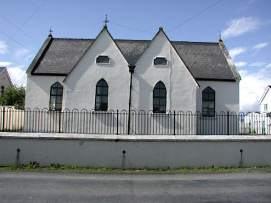 Drumbaragh National Schoolschool · 1318 yd
 Grave YardGraveyard · 1638 yd
 Jack's WoodsWood · 1.1 mi
 Tower of Lloydmonument · 1.4 mi
 The Pauper's CemeteryMemorial · 1.5 mi
 Great Famine ProjectMemorial · 1.5 mi
 CloncatMountain / peak · 2.4 mi
 MountainpoleMountain / peak · 2.6 mi
 MoatCastle, motte and bailey · 2.7 mi
 Round TowerCastle, tower house · 3.3 mi