What is recorded here
On a natural terrace, on an E-facing slope. The remains of a square hut site (5.1m N-S; 5.1m E-W) with a slightly sunken floor. The walls (Wth 1.6m; int. H 1.5m; ext. H 0.8m) are internally revetted with stone slabs. There is a possible entrance on the E side. A possible rath (SL031-037----) is indicated in this area on the 1838 OS 6-inch map and this hut site may lie in or near it.
The above description is derived from the published 'Archaeological Inventory of County Sligo' compiled by Ursula Egan, Elizabeth Byrne, Mary Sleeman with Sheila Ronan and Connie Murphy (Dublin Stationery Office, 2005).
Date of upload: 18 January 2008
The monument record does not grant public access. Check the route and ask the landowner before entering private land.
- What survives
- Recorded monument
Places near here
 Castle Carragh in RuinsCastle, unclassified · 563 yd
 Dermot & Grania's BedArchaeological place · 588 yd
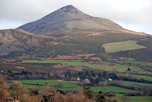 ToberaraghtHoly well · 1.2 mi
 Carrick WoodWood · 1.4 mi
 New WoodWood · 2.0 mi
 Lough Talt TrailVisitor information · 2.1 mi
 Mass RockNamed rock · 2.2 mi
 Saint Attracta's Catholic Churchchurch/chapel · 2.6 mi
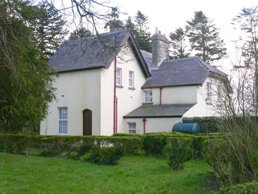 Shooting Lodgehunting/fishing lodge · 2.7 mi
 Castle (Site of)Castle, unclassified · 3.3 mi
 Largan HillMountain / peak · 3.3 mi
 KnockasliggaunMountain / peak · 3.8 mi