What is recorded here
Two circular stone foundations and a connecting wall mark a lost shelter on a ridge above a wedge tomb. The larger circle measures 6.4m across, the smaller 4.4m, and a 10.2m wall joins them through mountain air. People may have lived beside death itself, building warmth and witness on the same ridge.
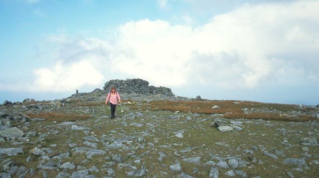
Two circular foundations of large stones. The first is 6.4m in diameter. A stone wall, 10.2m in length, runs S from this onto the second foundation, 4.4m in diameter. There are several other walls in the vicinity and other features have been recorded here (M.R. Colhoun). It is situated in the NW corner of an oval N-S ridge to the W of a wedge tomb (DG030-001-) in mountainous terrain.
The above description was derived from the 'Archaeological Survey of County Donegal. A description of the field antiquities of the County from the Mesolithic Period to the 17th century.' Compiled by: Brian Lacey with Eamon Cody, Claire Cotter, Judy Cuppage, Noel Dunne, Vincent Hurley, Celie O'Rahilly, Paul Walsh and Seán Ó Nualláin (Lifford: Donegal County Council, 1983). In certain instances the entries have been revised and updated.
Date of upload: 22 September 2008
The monument record does not grant public access. Check the route and ask the landowner before entering private land.
- What survives
- Recorded monument
Places near here
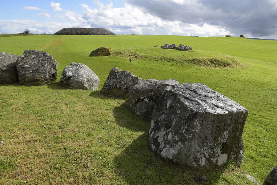 Carrowmore / Glentogher Hilltop Stone EnclosureHilltop enclosure · 714 yd
 Beggars Bridgebridge · 1.4 mi
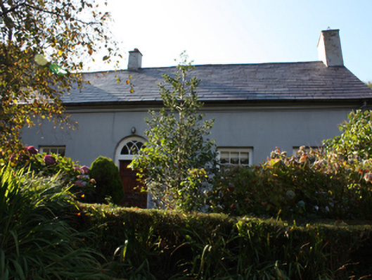 Whitefieldhouse · 2.4 mi
 CroaghmoreMountain / peak · 2.4 mi
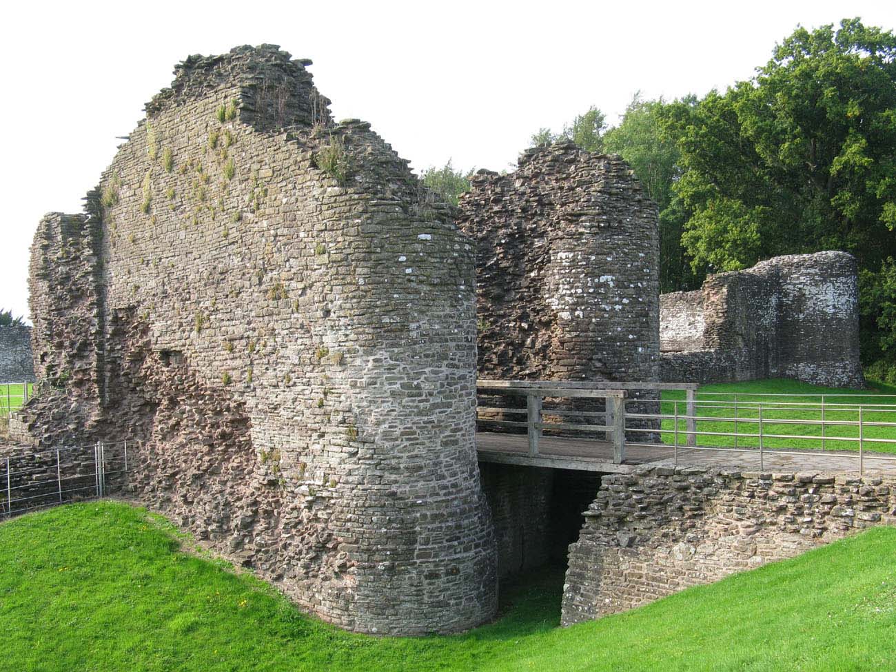 Whitecastle Fairy FortFairy fort / earthen ringfort · 2.6 mi
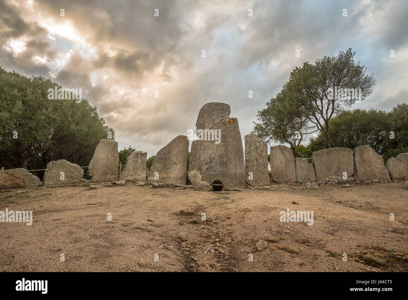 Giant's GraveArchaeological place · 2.6 mi
 Quigley's PointHeadland · 3.2 mi
 Site of Red CastleCastle, unclassified · 4.2 mi
 Slieve SnaghtMountain / peak · 4.7 mi
 Eskaheen GraveyardGraveyard · 5.6 mi
 Muff ForestWoodland walk · 6.4 mi
 Lady's Bay, BuncranaOfficial bathing water · 9.5 mi