What is recorded here
In a possible rath (SL012-037001-). In the N half of the rath interior, close to the bank at E, there is a possible hut site (SL012-037002-). It consists of a subcircular area (diam. 5m) defined by a low bank (Wth 1.3m; int. H 0.4m; ext. H 0.3m).
Compiled by: Jane O'Shaughnessy
Date of upload: 30 July 2013
The monument record does not grant public access. Check the route and ask the landowner before entering private land.
- What survives
- Recorded monument
Places near here
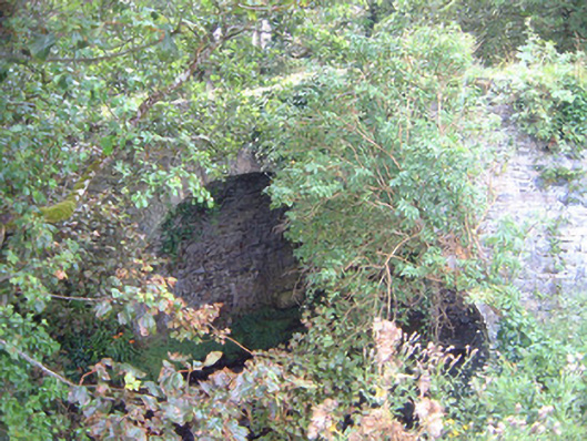 Ballygilcash Bridgebridge · 106 yd
 IndicatedFairy fort / earthen ringfort · 192 yd
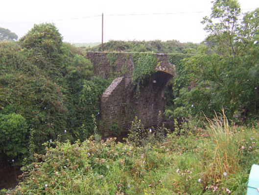 Donaghintraine Bridgebridge · 314 yd
 Site of Dunneill CastleCastle, unclassified · 942 yd
 Enclosure in Carrownrush (tireragh By., Easky East Ed),carrowmablyEnclosure · 1614 yd
 DonaghHeadland · 1706 yd
 CastleCastle, tower house · 2.1 mi
 Split RockNamed rock · 2.9 mi
 Jim Smith MemorialMemorial · 4.2 mi
 Aughris BeachBeach / strand · 4.5 mi
 Wild Atlantic Way: Easky PierVisitor information · 4.6 mi
 Eamonn's TopMountain / peak · 5.6 mi