What is recorded here
In heath, on S-facing slope. Circular area (diam. 7m) enclosed by dry stone wall (H 1m). Some stones dumped in interior.
The above description is derived from the published 'Archaeological Inventory of County Cork. Volume 1: West Cork' (Dublin: Stationery Office, 1992). In certain instances the entries have been revised and updated in the light of recent research.
Date of upload/revision: 14 January 2009
The monument record does not grant public access. Check the route and ask the landowner before entering private land.
- What survives
- Recorded monument
Places near here
 Man-made underground passage in GortdromaghMan-made underground passage · 960 yd
 BarrowBarrow, ring-barrow · 1551 yd
 Ballyourane Castle (in Ruins)Castle, unclassified · 1.0 mi
 Dromore Cottagehouse · 1.9 mi
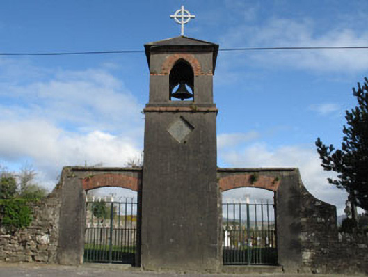 St. Mary's Churchbell tower/stand · 1.9 mi
 Mount KidMountain / peak · 1.9 mi
 Lissangle Castle (Site of)Castle, unclassified · 2.9 mi
 Francis O'Neill PlaqueMemorial · 3.5 mi
 Trawlebane WalkWalking route · 3.7 mi
 Moyny Bridge WalkWalking route · 4.3 mi
 KnockaphukeenMountain / peak · 4.4 mi
 Seskin ViewViewpoint · 4.7 mi
Other information
Photo: Credit not shown in the picture search · Rights wording not checked; contact us if this picture should be removed