What is recorded here
On a NE-facing slope overlooking a small valley known as the Shaking Bog to the E. Situated 2m N of adjacent hut site (WI006-030----). A rectangular area (dims. 6m NE-SW; 2.5m NW-SE) defined by a low bank (Wth 0.8m; H 0.2m). Towards the N end there are two gaps which may represent opposing entrances. There is a small circular annex (diam. c. 2m) tacked onto the N angle of the hut site with an entrance (Wth 0.8m) at the NW.
Compiled by: Matt Kelleher
Date of upload: 13 December 2012
The monument record does not grant public access. Check the route and ask the landowner before entering private land.
- What survives
- Recorded monument
Places near here
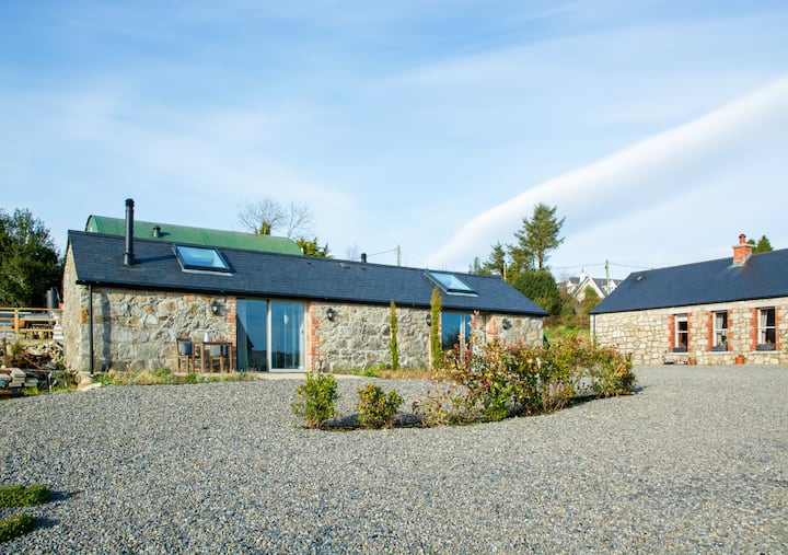 Enclosure in BallynabrockyEnclosure · 629 yd
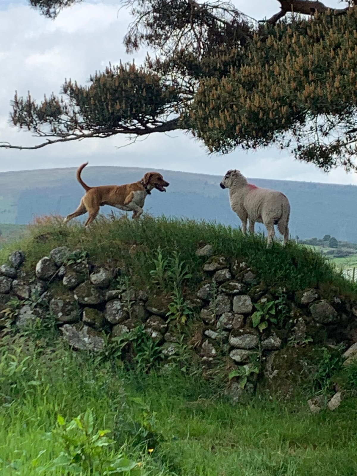 NurseryEnclosure · 717 yd
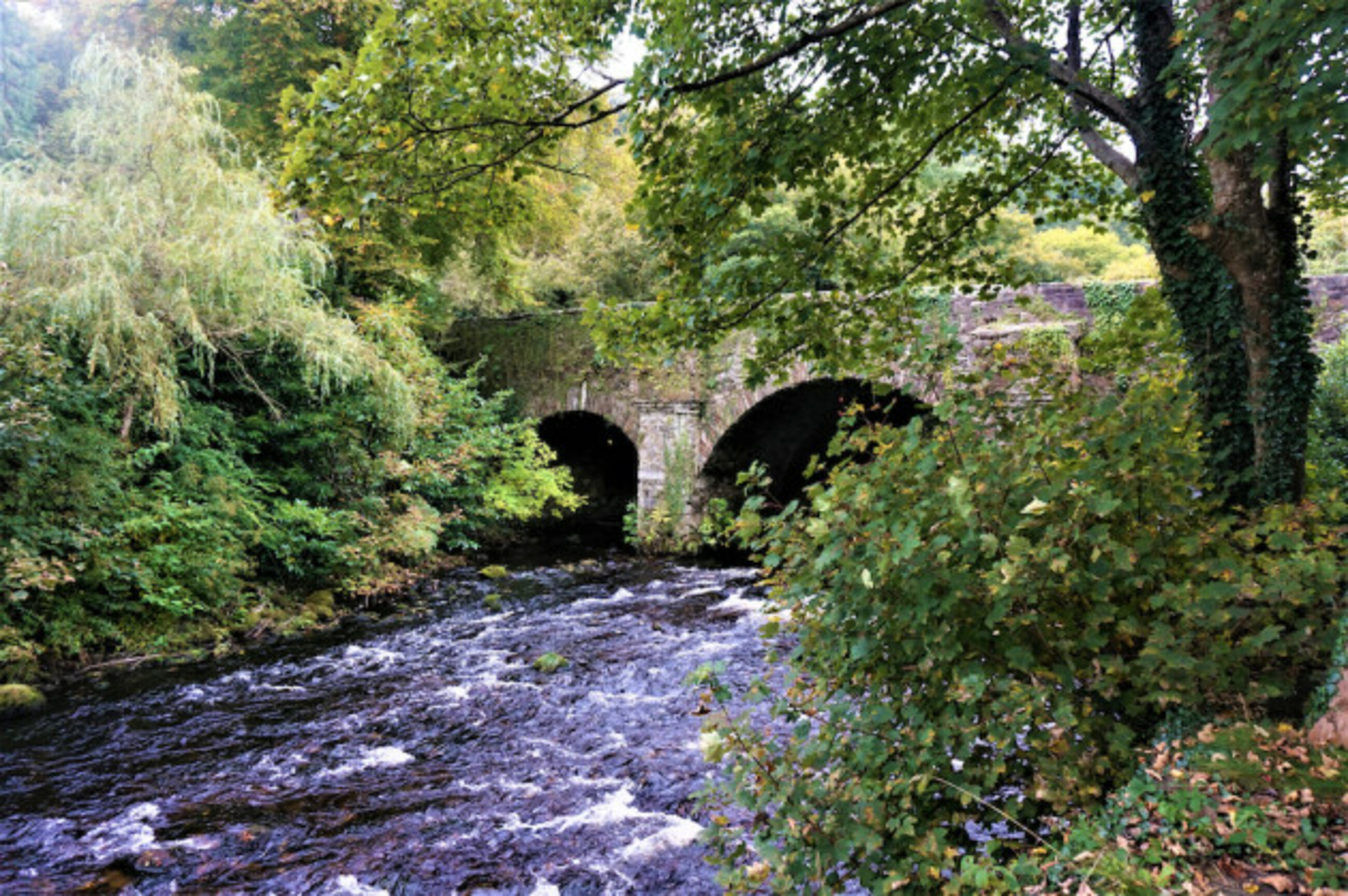 Athdown MoatCastle, motte · 1017 yd
 Scots PineScots Pine · 1094 yd
 Coronation PlantationWood · 1.3 mi
 SeefinMountain / peak · 1.6 mi
 SeefinganMountain / peak · 2.1 mi
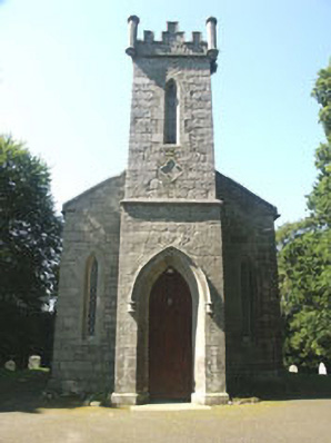 Saint John's Church (Kilbride)church/chapel · 2.4 mi
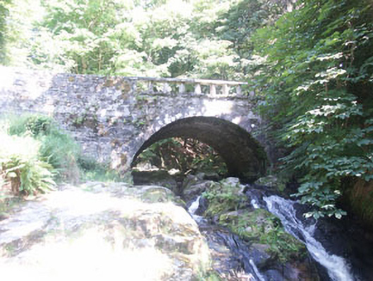 Cloghleagh Bridgebridge · 2.4 mi
 OldcourtMemorial · 3.3 mi
 Site of CastleCastle, unclassified · 3.5 mi
 Lacken – Mass Path LoopWalking route · 4.0 mi