What is recorded here
On a NW-facing slope of blanket covered mountain grazing. A circular area (diam. c. 7m) defined by a stone and sod bank (Wth 1.2m; H 0.4m) WNW->NNE. Cut on the E side by a NE-SW bank that forms the western boundary of the former Coronation Plantation. Much of the enclosure may have been robbed out for material to make this later bank.
Compiled by: Matt Kelleher
Date of upload: 13 December 2012
The monument record does not grant public access. Check the route and ask the landowner before entering private land.
- What survives
- Recorded monument
Places near here
 Scots PineScots Pine · 512 yd
 NurseryEnclosure · 639 yd
 Enclosure in AthdownEnclosure · 1609 yd
 Athdown MoatCastle, motte · 1637 yd
 Coronation PlantationWood · 1.0 mi
 SeefinMountain / peak · 1.7 mi
 SeefinganMountain / peak · 2.1 mi
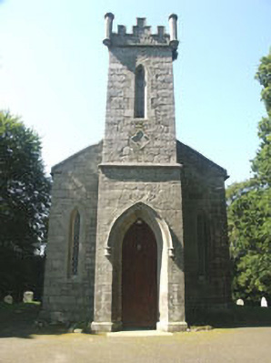 Saint John's Church (Kilbride)church/chapel · 2.7 mi
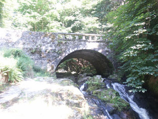 Cloghleagh Bridgebridge · 2.7 mi
 OldcourtMemorial · 3.7 mi
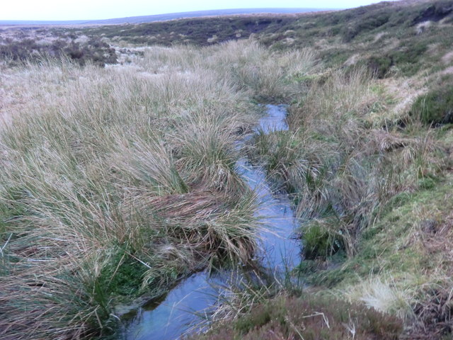 Source of River LiffeySpring · 3.8 mi
 Site of CastleCastle, unclassified · 3.9 mi
Other information
Photo: Credit not shown in the picture search · Rights wording not checked; contact us if this picture should be removed