What is recorded here
The first fitting failed because it used more than the allowed words. The second fitting must use the exact facts and stay inside the requested limit.
Hut site described by Cuppage (1986, 24, no. 25 (e)) as; 'A circular drystone-built foundation situated just below the summit of the hillock on which the wedge-tomb stands. It measures 3.8m in diameter internally and the wall, 1.5m thick, stands to a maximum height of 0.4m but is largely obscured by collapse. It is not clear where the original entrance lay. The N part of the wall is overlain by a later wall which appears to form part of a small rectangular enclosure surrounding the hut'.
The monument record does not grant public access. Check the route and ask the landowner before entering private land.
- What survives
- Recorded monument
Places near here
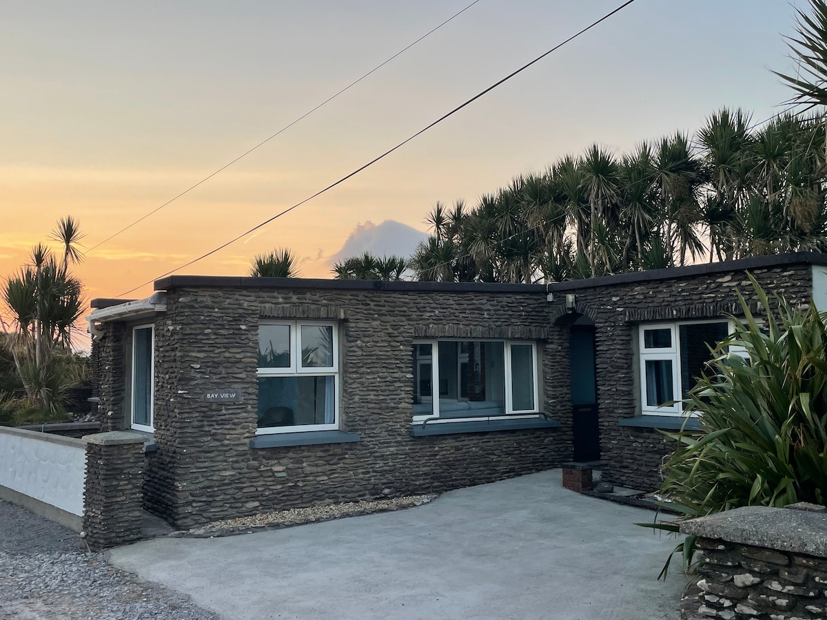 Hut site in Baile Uí UaithnínHut site · 147 yd
 Enclosure in Loch An DúinEnclosure · 298 yd
 Sliabh na nGabharMountain / peak · 1628 yd
 Church in Cill An UrdráinChurch · 1704 yd
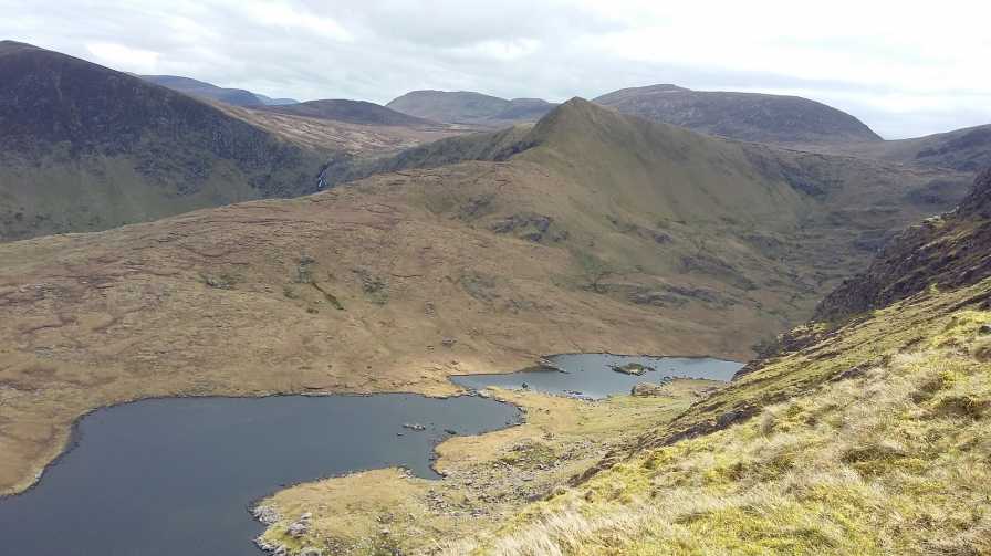 An StarraicínMountain / peak · 1.0 mi
 Séipéal Bhréanainn [Saint Brendan's Catholic Church]church/chapel · 2.2 mi
 Maughanablagher CliffsCliff · 2.2 mi
 Drom BeachBeach / strand · 2.3 mi
 Hillville WoodWood · 2.7 mi
 Site of CastleCastle, unclassified · 2.7 mi
 An ChonairViewpoint · 2.8 mi
 An t'Oileán DubhIslet · 2.9 mi
Other information
Photo: Credit not shown in the picture search · Rights wording not checked; contact us if this picture should be removed