
What is recorded here
Map note: Find the recorded point for Hubert Gough, a birthplace in County Waterford, Ireland. The record may be short; the location is here to explore.
Why this person is known: British Army general (1870–1963)
Places near here
Photo credits
- Kevin O'Brien 13, Wikimedia Commons · CC BY-SA 4.0
- kevin higgins, Geograph · CC BY-SA 2.0
- Peter Taylor, Wikimedia Commons · CC BY-SA 2.0
- Rwxrwxrwx at English Wikipedia, Wikimedia Commons · Public domain
- National Inventory of Architectural Heritage
- ethics girl, Wikimedia Commons · CC BY-SA 2.0
- ethics girl, Geograph · CC BY-SA 2.0
- kevin higgins, Wikimedia Commons · CC BY-SA 2.0
IndicatedFairy fort / earthen ringfort · 233 ydKilclooney WoodForest · 892 yd CoumshingaunMountain corrie and lake · 1.0 miKnockaunapeebraMountain / peak · 2.0 miCroughaun HillMountain / peak · 2.3 miMahon FallsWaterfall · 2.3 miMahon ValleyCliff · 2.4 miSaint Anne's Catholic ChurchOfficially recorded historic building · 2.8 miClonea Power CastleCastle · 3.0 miCastleCastle, tower house · 3.0 miThe ForgeHouse · 3.1 miStanding StoneRuins · 5.2 mi
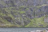 CoumshingaunMountain corrie and lake · 1.0 mi
 KnockaunapeebraMountain / peak · 2.0 mi
 Croughaun HillMountain / peak · 2.3 mi
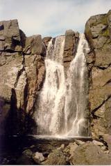 Mahon FallsWaterfall · 2.3 mi
 Mahon ValleyCliff · 2.4 mi
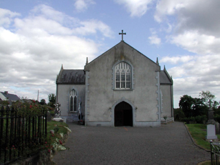 Saint Anne's Catholic ChurchOfficially recorded historic building · 2.8 mi
 Clonea Power CastleCastle · 3.0 mi
 CastleCastle, tower house · 3.0 mi
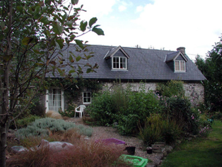 The ForgeHouse · 3.1 mi
 Standing StoneRuins · 5.2 mi
More places in County Waterford

What do you know about this place?Tap to add a comment or ask a question