
What is recorded here
Detached three-bay two-storey house, c.1880, on a T-shaped plan retaining some original fenestration with single-bay two-storey lower return to north-east. Extensively renovated and extended, c.1980, comprising two-bay single-storey flat-roofed recessed wing to left (north-west) with some openings remodelled to accommodate commercial use to ground floor. Pitched slate roofs with decorative red clay ridge tiles, rendered chimney stacks, and cast-iron rainwater goods on timber eaves. Flat bitumen felt roof to wing behind mono-pitched artificial slate course having clay ridge tiles, and aluminium rainwater goods on timber eaves. Painted rendered, ruled and lined walls with rendered channelled piers to ground floor, moulded stringcourse over, and rendered quoined piers to first floor. Square-headed window openings to ground floor with rendered sills, ‘voussoirs’, and round-headed window openings to remainder with rendered sills (forming sill course to first floor), rendered surrounds, and moulded rendered continuous hood moulding over to first floor. Replacement timber casement windows, c.1980, with some original 1/1 timber sash windows. Square-headed window openings remodelled, c.1980, to right ground floor with rendered sill, timber surround, and fixed-pane timber display window. Square-headed door opening with three steps, rendered ‘voussoirs’, replacement timber panelled door, c.1980, and overlight. Set back from line of road with tarmacadam verge to front.
A well-composed and finely-detailed modest-scale house retaining much of its original form, and some of its original fabric. However, some alterations have not had a positive bearing on the external expression of the composition, while the insertion of inappropriate replacement fittings to some remodelled openings have compromised some of the integrity of the composition. Positioned on the brow of a hill, the house nevertheless remains an important element of the streetscape in Tooraneena.
This does not grant access. Most recorded buildings are privately owned; view them only from public ground unless the owner allows entry.
Places near here
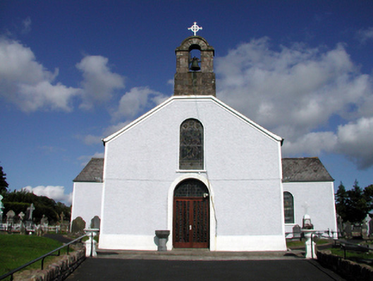 Saint Mary's Catholic ChurchOfficially recorded historic building · 107 yd
 Sliabh gCuahouse · 246 yd
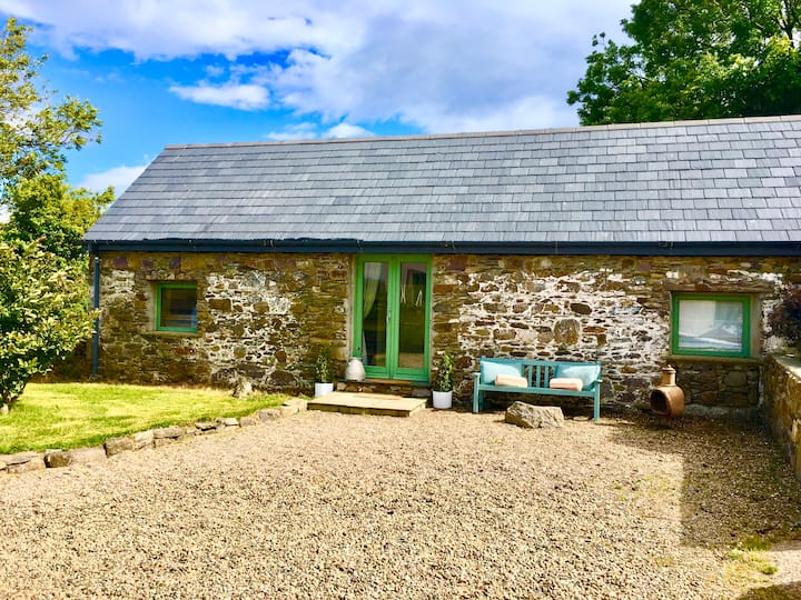 Man-made underground passage in TooraneenaMan-made underground passage · 391 yd
 Enclosure in TooraneenaEnclosure · 502 yd
 BroemountainMountain / peak · 3.2 mi
 Pigeon HillMountain / peak · 3.2 mi
 Site of CastleCastle, unclassified · 3.6 mi
 Curraghcloney CastleCastle · 3.6 mi
 Standing StoneMemorial · 4.1 mi
 Glenshelane WoodsForest · 4.9 mi
 Laeka WoodWood · 4.9 mi
 Glenshelane Red WalkWalking route · 5.4 mi
Other information
Photo: National Inventory of Architectural Heritage · Website use allowed for educational or private purposes with source credit