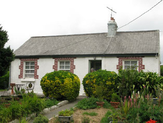
What is recorded here
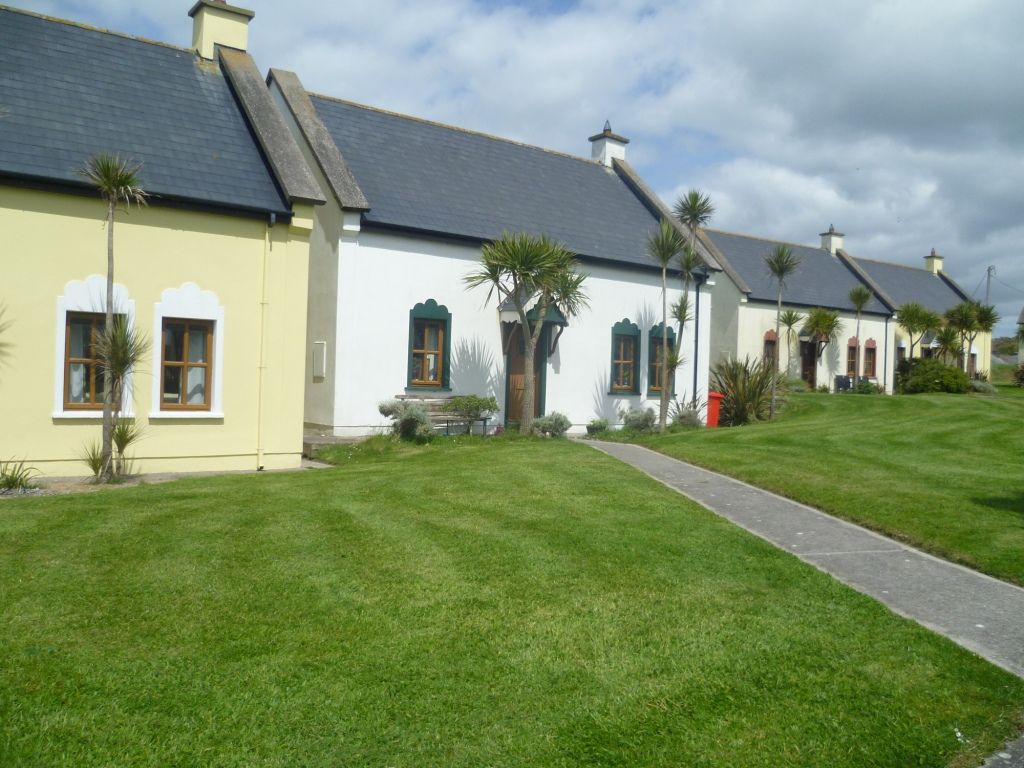
Detached four-bay single-storey local authority house, built c.1910, having recent extension to rear (north-west). Pitched slate roof with rendered eaves course, brick chimneystack and cast-iron rainwater goods. Roughcast rendered walls. Camber and square-headed window openings with chamfered limestone sills and four-over-four pane timber sliding sash windows throughout. Red brick block-and-start surrounds to front elevation openings. Square-headed door opening having raised rendered surround and glazed timber door. Associated single- and three-bay outbuildings to south-east, having single-pitch corrugated-iron roofs and walls. Square-headed window opening with timber casement window to three-bay outbuilding. Square-headed door openings having timber battened doors. Earthen embankment enclosing site having rubble stone gate piers and limestone and render stepped approach.
Modestly sized house with neat façade and design, typical of the houses built throughout Ireland by the various local authorities following the passing of the Land Acts from the 1880s to 1920. It retains much of original form and notable features such as brick dressings and timber sliding sash windows.
This does not grant access. Most recorded buildings are privately owned; view them only from public ground unless the owner allows entry.
Places near here
 Saint Catherine's Church (Ringcurran)church/chapel · 42 yd
 Graveyard in ArdbrackGraveyard · 78 yd
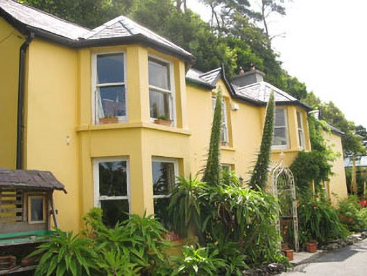 Mentonehouse · 296 yd
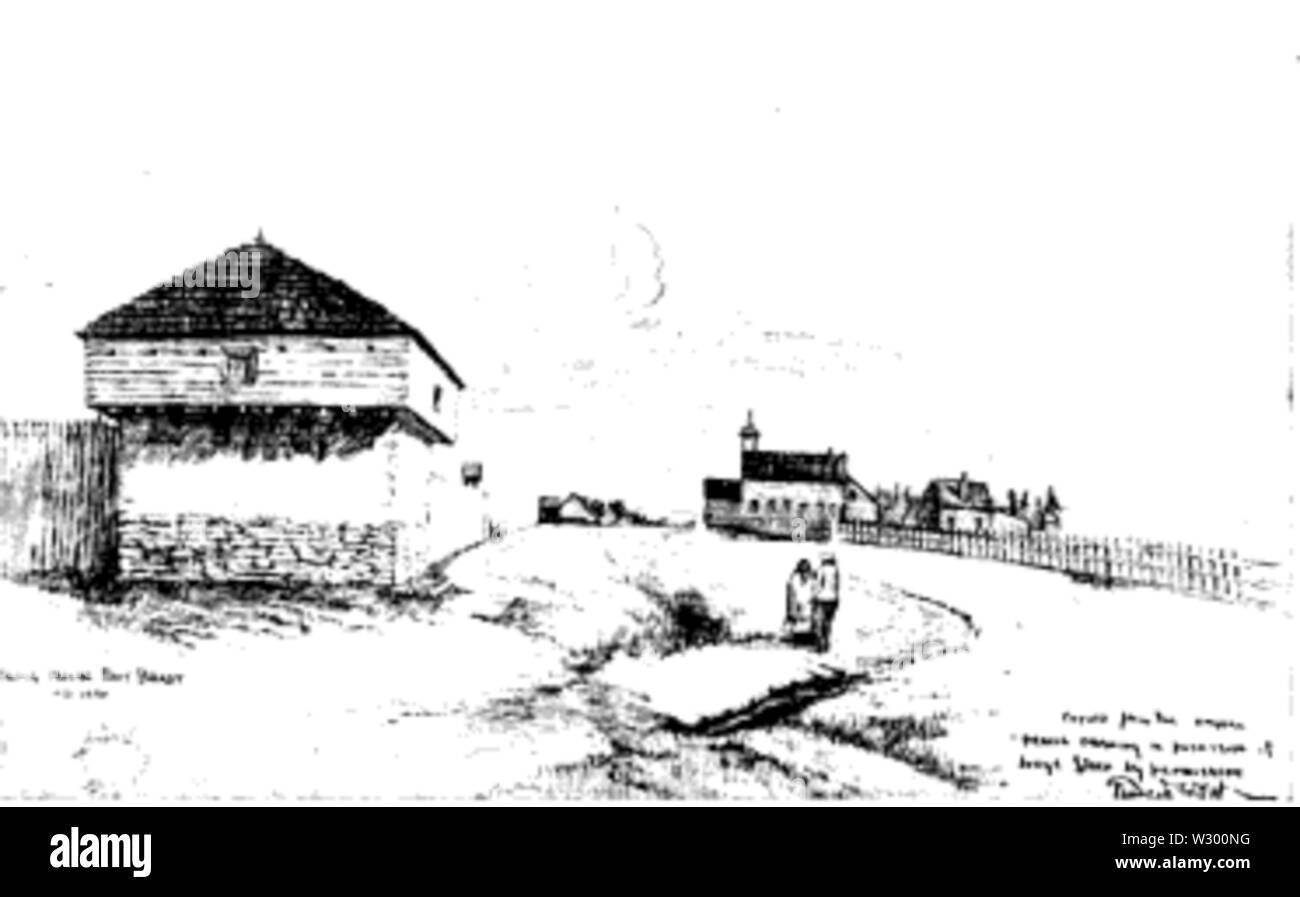 Blockhouse BatteryBlockhouse · 745 yd
 Ringcurran Burial GdBurial ground · 997 yd
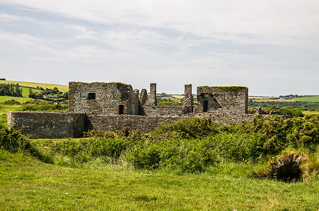 James FortVisitor information · 1252 yd
 Eoin O ConnorGallery · 1326 yd
 Kinsale Harbour CruisesHeritage attraction · 1337 yd
 World War I MemorialMemorial · 1363 yd
 Dock BeachBeach / strand · 1369 yd
 Kinsale Alms HousesVisitor information · 1533 yd
 GaolCastle, tower house · 1757 yd
Other information
Photo: National Inventory of Architectural Heritage · Website use allowed for educational or private purposes with source credit