
What is recorded here
One of two burial grounds just outside NE wall of Charles Fort (CO125-007---). Irregular area (49.5m N-S; 42.1m E-W) enclosed by wooden fence. Grave markers very worn; some dating to 18th century.
The above description is derived from the published 'Archaeological Inventory of County Cork. Volume 2: East and South Cork' (Dublin: Stationery Office, 1994). In certain instances the entries have been revised and updated in the light of recent research.
Date of upload/revision: 14 January 2009
Images provided by and copyright of Amanda Clarke 2016-2022 https://holywellscorkandkerry.com/
A local ancient tomb; wider significance not recorded.
The monument record does not grant public access. Check the route and ask the landowner before entering private land.
- What survives
- Recorded monument
Places near here
 Trinity Well (covered)Holy well · 89 yd
 Cook HouseRuins · 99 yd
 Earth StoreRuins · 116 yd
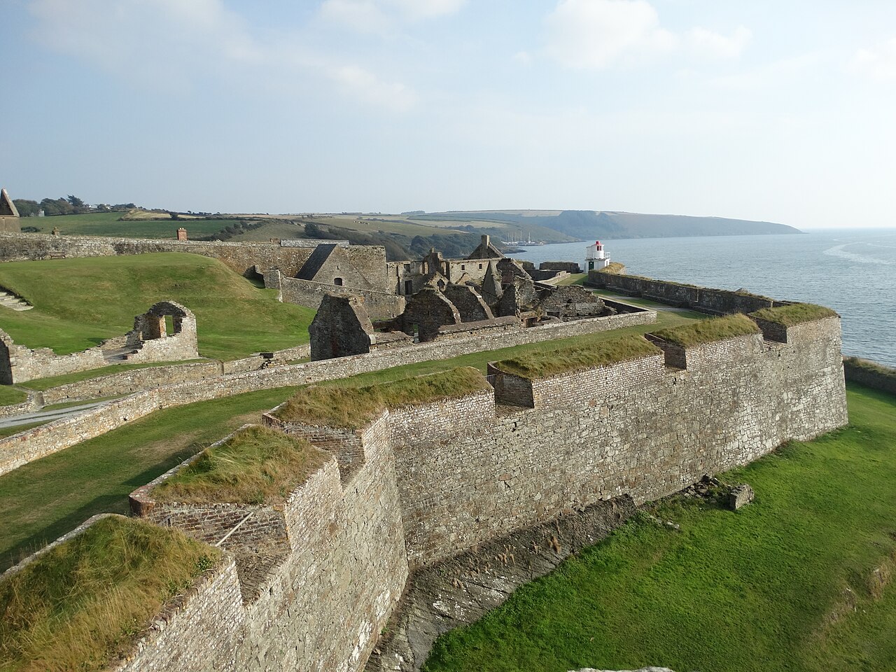 Charles FortBastioned fort · 174 yd
 Graveyard in ArdbrackGraveyard · 941 yd
 Kinsale HarbourBay · 1046 yd
 Dock BeachBeach / strand · 1226 yd
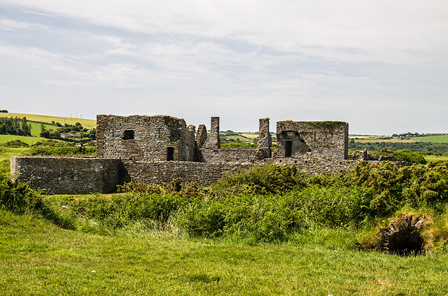 James FortVisitor information · 1305 yd
 World War I MemorialMemorial · 1689 yd
 Eoin O ConnorGallery · 1.0 mi
 Kinsale Harbour CruisesHeritage attraction · 1.1 mi
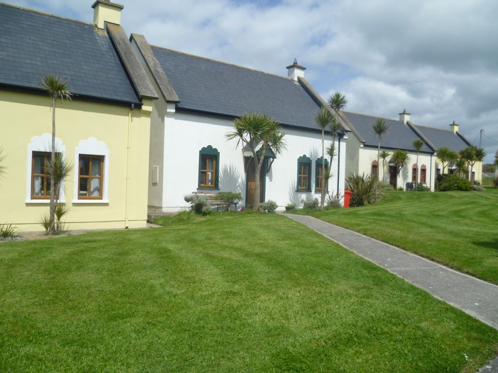 Kinsale Alms HousesVisitor information · 1.2 mi
Other information
Photo: Credit not shown in the picture search · Rights wording not checked; contact us if this picture should be removed