What is recorded here
A small house was marked on the Down Survey (1655-6) barony map in the Slievemore area of Sherkin Island. Its exact location is not known.
The above description is derived from 'The Archaeological Inventory of County Cork. Volume 5' (Dublin: Stationery Office, 2009).
Date of upload: 22 December 2009
The monument record does not grant public access. Check the route and ask the landowner before entering private land.
- What survives
- Recorded monument
Places near here
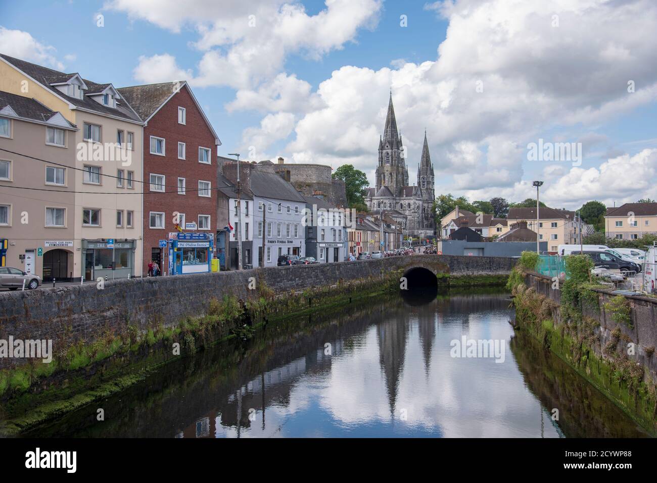 IndicatedFairy fort / earthen ringfort · 280 yd
 Enclosure in An Muirneach BeagEnclosure · 686 yd
 CastleCastle, unclassified · 1713 yd
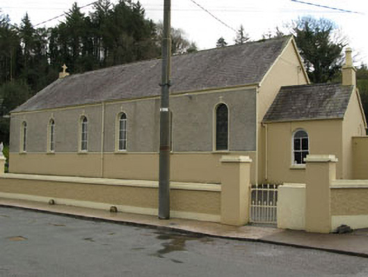 Séipéal Ghobnatan [Saint Gobnet's Catholic Church]church/chapel · 1.0 mi
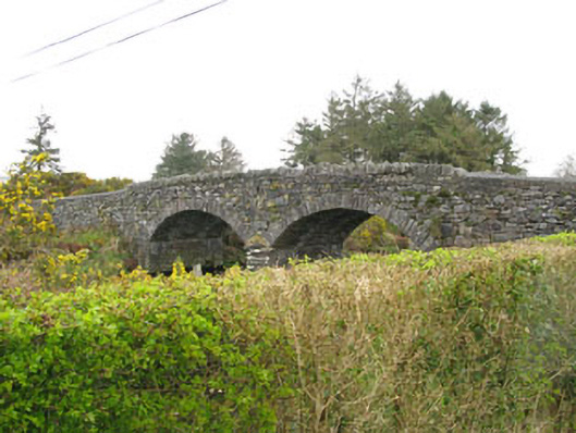 Milleeny Bridgebridge · 1.2 mi
 European long distance path E8 - part IrelandWalking route · 1.5 mi
 Kealaboane WoodWood · 1.6 mi
 Cascade WoodWood · 1.7 mi
 Castle (Site of)Castle, unclassified · 1.7 mi
 Sli Gaeltacht MuscraiWalking route · 2.2 mi
 KnockacommeenMountain / peak · 3.5 mi
 Cnoc na nUlánMountain / peak · 3.7 mi