What is recorded here
File opened for a house at Carrownalassan marked on the Strafford map of Ballintubber barony c. 1636 (Simington 1949, map b). I cannot identify Carrownalassan on the map, but there are a lot of houses at Kilbready. Not encountered.
Compiled by: Michael Moore
Date of upload: 24 August 2010
The monument record does not grant public access. Check the route and ask the landowner before entering private land.
- What survives
- Recorded monument
Places near here
 Embanked enclosureFairy fort / earthen ringfort · 1092 yd
 Grange AbbeyChurch · 1.1 mi
 Enclosure in Carroward (ballintober South By., Kilbride North Ed),cartron (ballintober South By., Kilbride North Ed)Enclosure · 1.4 mi
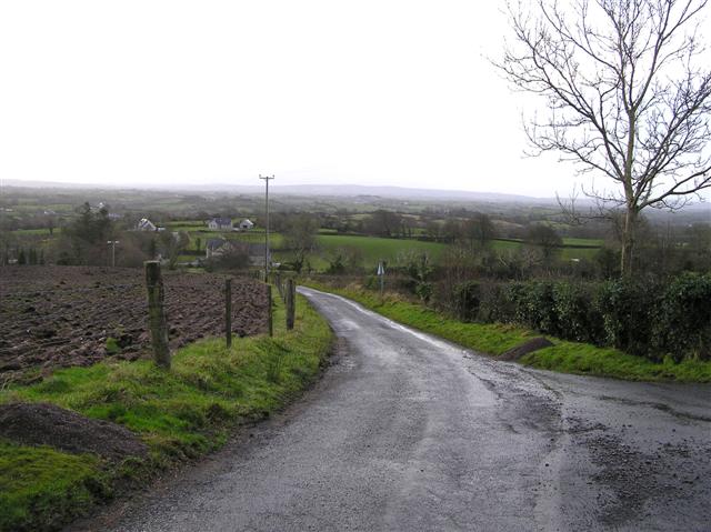 RoadRoad, road/trackway · 1.5 mi
 Leitrim CastleCastle, unclassified · 1.7 mi
 Cruachan Aí Heritage CentreMuseum · 4.8 mi
 CastleCastle, unclassified · 4.8 mi
 ToberagullaSpring · 5.1 mi
 European ashEuropean ash · 5.1 mi
 Roscommon CastleCastle · 5.5 mi
 HawthornHawthorn · 6.1 mi
 FerrinchIslet · 8.5 mi