What is recorded here
The Down Survey (1655-6) map shows a dwelling at Athgoe. The precise location of this monument is unknown.
Compiled by Geraldine Stout
The monument record does not grant public access. Check the route and ask the landowner before entering private land.
- What survives
- Recorded monument
Places near here
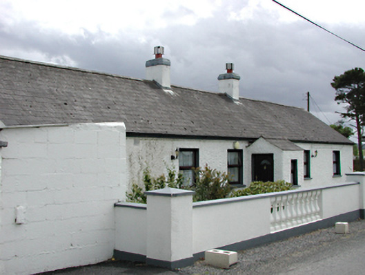 farm housefarm house · 452 yd
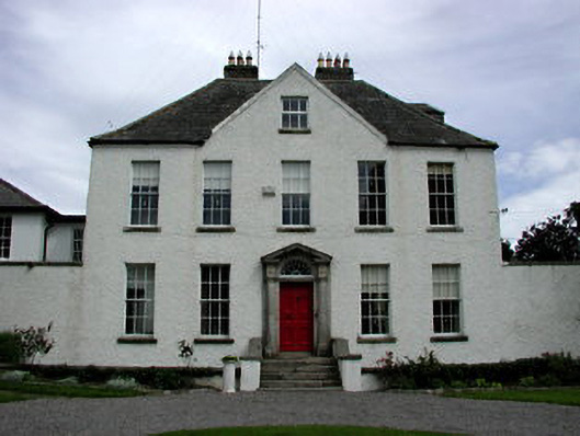 Athgoe Castlecountry house · 553 yd
 Wards WellHoly well · 659 yd
 Inauguration site in LyonsInauguration site · 1008 yd
 Athgoe HillMountain / peak · 1071 yd
 Colmanstown Castle (in ruins)Castle, tower house · 1408 yd
 Icehouse WoodWood · 1503 yd
 Cullen's Hill WoodWood · 1757 yd
 Saint Finian's WellSpring · 1.1 mi
 CastleCastle, tower house · 1.2 mi
 Arthur Guinness GraveMemorial · 1.7 mi
 Oughterard Round TowerHeritage attraction · 1.7 mi