What is recorded here
A house and orchard are depicted on a Bateman map of 1717 at Snugborough (NLI: ms. 6148, 5). It is N of an E-W road but it remains unlocated.
Compiled by: Michael Moore
Date of upload: 30 Setember 2011
The monument record does not grant public access. Check the route and ask the landowner before entering private land.
- What survives
- Recorded monument
Places near here
 farmyard complexfarmyard complex · 193 yd
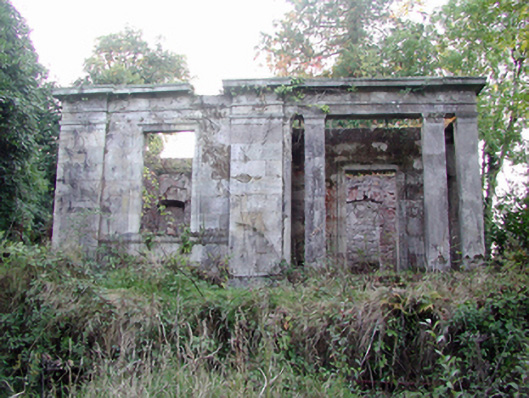 Headborough Housegate lodge · 588 yd
 Burial GroundGraveyard · 630 yd
 IndicatedFairy fort / earthen ringfort · 1026 yd
 Kilnacarriga Castle (in ruins)Castle, unclassified · 1.0 mi
 CastleCastle, tower house · 1.7 mi
 Deerpark WoodWood · 1.8 mi
 Bishopstown WoodForest · 2.1 mi
 LismoreMemorial · 3.8 mi
 Tallow HillMountain / peak · 4.0 mi
 Lismore Castlefarm house · 4.1 mi
 Cottage IslandIslet · 4.2 mi