What is recorded here
Two houses as well as a castle (TS048-026001-) and church (TS048-026002-) are indicated on the Down Survey map (1655-6) which have been identified with Mellisson townland on the composite maps. Both houses are currently unlocated within the townland.
Compiled by: Jean Farrelly
Date of upload: 26 August 2011
The monument record does not grant public access. Check the route and ask the landowner before entering private land.
- What survives
- Recorded monument
Places near here
 Mellisson CastleCastle, tower house · 265 yd
 Enclosure in Poyntstown (fennor Par.)Enclosure · 1602 yd
 IndicatedFairy fort / earthen ringfort · 1.1 mi
 Littlefield Housecountry house · 1.3 mi
 Mine in Earlshill,glengoole SouthMine · 1.4 mi
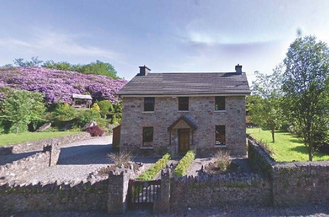 CastleCastle, unclassified · 1.6 mi
 Bregaun HillMountain / peak · 1.9 mi
 Waterloo HillMountain / peak · 2.4 mi
 Rapefield WoodForest · 3.4 mi
 Kilcooly AbbeyHeritage attraction · 3.4 mi
 Derrynaflan TrailHeritage attraction · 3.8 mi
 KilcooleyForest · 3.8 mi