
What is recorded here
On a S-facing slope of rising grassland in the Slieveardagh hills with good views from E through S to W, higher ground to N. Nearby ringfort (TS049-022----) 230m to the W. Monument consists of a slightly raised circular area (diam. 21m N-S; 22.5m E-W-) enclosed by an earth and stone bank (top Wth 1.5m; base Wth 2.5m; ext. H 0.6m; int. H 0.1-0.2m ) and slight traces of an outer fosse (base Wth 2.5m top Wth 4m; ext. D ) on upslope only. Enclosing bank best preserved at N on the upslope only elsewhere it has been mainly reduced to a scarp, due to cattle erosion, with the interior sloping from N to S following natural slope of land. Interior covered in coniferous trees planted possibly in the early 1900s. Gap (Wth 1.2m) in bank at SSE, may be cattle gap or may be poorly preserved entrance feature.
Compiled by: Jean Farrelly
Date of upload: 26 August 2011
The monument record does not grant public access. Check the route and ask the landowner before entering private land.
- What survives
- Recorded monument
Places near here
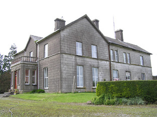 Coalbrook Housecountry house · 1058 yd
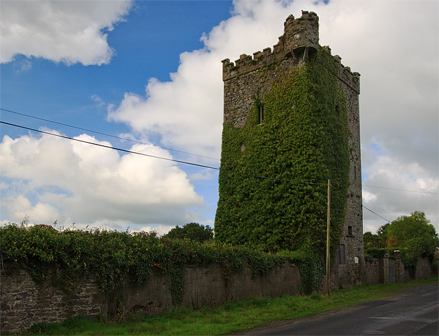 Site of Williamstown CastleCastle, unclassified · 1681 yd
 Lisnamrock Collierychimney · 1.1 mi
 Mellisson CastleCastle, tower house · 1.1 mi
 Knockaun FortArchaeological place · 1.5 mi
 Bregaun HillMountain / peak · 1.7 mi
 Druids AltarMegalithic structure · 1.8 mi
 Waterloo HillMountain / peak · 2.7 mi
 Rapefield WoodForest · 3.4 mi
 Kilcooly AbbeyHeritage attraction · 3.6 mi
 Deerpark WoodWood · 3.7 mi
 Derrynaflan TrailHeritage attraction · 4.6 mi
Other information
Photo: Credit not shown in the picture search · Rights wording not checked; contact us if this picture should be removed