What is recorded here
A building is marked on the Strafford map of Athlone barony c. 1636 at Liscoffy (Simington 1949, Athlone 365)). In 1641 a Quarter at Liscoffy, amounting to 179 acres, was owned by William Shane Kelly, but by 1670 89 acres there was owned by John Kelly and the remainder by Lord FitzHarding (ibid. 125). Not surprisingly, the building was not encountered.
Compiled by: Michael Moore
Date of upload: 22 October 2015
The monument record does not grant public access. Check the route and ask the landowner before entering private land.
- What survives
- Recorded monument
Places near here
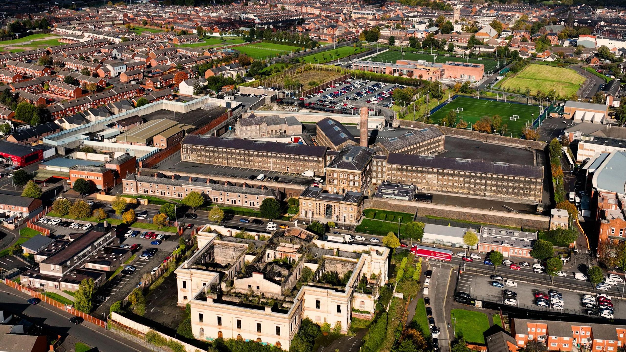 Embanked enclosureFairy fort / earthen ringfort · 141 yd
 IndicatedFairy fort / earthen ringfort · 452 yd
 Church in Cloghan,curraghadoonChurch · 1569 yd
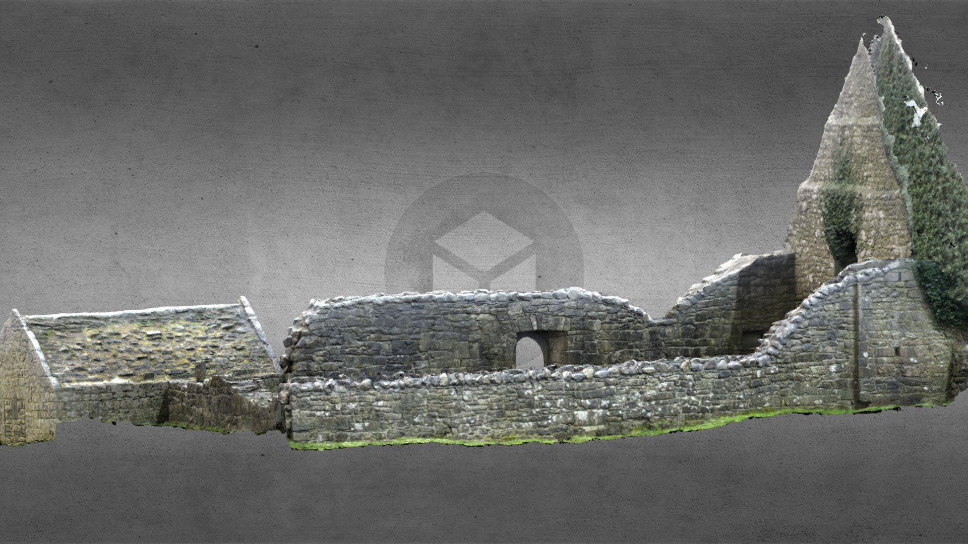 Church (in Ruins)Church · 1.4 mi
 Inchnaveague IslandIslet · 2.4 mi
 InchnagowerIslet · 3.0 mi
 European Crab AppleEuropean Crab Apple · 3.2 mi
 Castle (Site of)Castle, unclassified · 4.1 mi
 Site of Ballygar CastleArchaeological place · 4.4 mi
 Aughrane WoodsForest · 4.6 mi
 Mount MaryMountain / peak · 7.6 mi
 Site of Killomaine Grave YardArchaeological place · 13 mi