
What is recorded here
According to the Civil Survey (1654-6) the land at 'Garyroe' was owned by 'Morish Keatinge of Loghlochry, gent Irish Papist' in 1640 and 'Upon the sd lands stands a thatcht house with a chemny' (Simington 1931, vol. 1, 317). It was speculated that this house might be 'Garryroe House' as depicted on the 1st (1841) ed. OS 6-inch map. However, Garryroe House appears to be of late 18th/early 19th-century date and does not appear to incorporate any earlier features. The house referred to in the Civil Survey is unlocated within the townland.
Compiled by: Jean Farrelly
Date of upload: 26 August 2011
The monument record does not grant public access. Check the route and ask the landowner before entering private land.
- What survives
- Recorded monument
Places near here
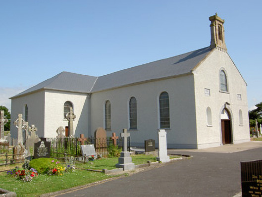 Saint Nicholas's Catholic Churchchurch/chapel · 512 yd
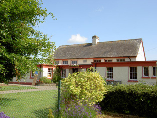 Grange National Schoolschool · 512 yd
 Enclosure in NicholastownEnclosure · 1011 yd
 Enclosure in MonksgrangeEnclosure · 1036 yd
 Nicholastown Castle (in ruins)Castle, tower house · 1548 yd
 Ballindoney Castle (in ruins)Castle, tower house · 1577 yd
 DeerparkWood · 1.5 mi
 Deodar CedarDeodar Cedar · 1.8 mi
 Woodcock HillMountain / peak · 3.0 mi
 European long distance path E8 - part IrelandWalking route · 3.3 mi
 Cahir CastleHeritage attraction · 4.7 miSiege of Cahir Castlesiege · 4.9 mi
Other information
Photo: Credit not shown in the picture search · Rights wording not checked; contact us if this picture should be removed