
What is recorded here
On a natural rise in undulating terrain. Depicted as an oval enclosure (dims. c. 28m N-S; c. 34m E-W) surrounded by a single bank on the 1904-5 ed. OS 6-inch map. There is no visible trace of the enclosure above ground. It is visible as a circular cropmark on aerial photographs (CUCAP July 1970 BDR 77; ASIAP (28) 25-27). Two other smaller circular cropmarks are also visible on this aerial photograph, one c. 70m to the NW (TS082-047002-), the other c. 120m to the NE (TS082-047003-).
Compiled by: Jean Farrelly
Date of upload: 04 February 2014
This remains an important historical record, but the official description says the monument is no longer visible or has been destroyed. The monument record does not grant public access. Check the route and ask the landowner before entering private land.
- What survives
- No visible remains or recorded as destroyed
Places near here
 Enclosure in NicholastownEnclosure · 843 yd
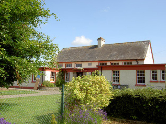 Grange National Schoolschool · 908 yd
 Enclosure in Park (tullaghmelan Par.)Enclosure · 970 yd
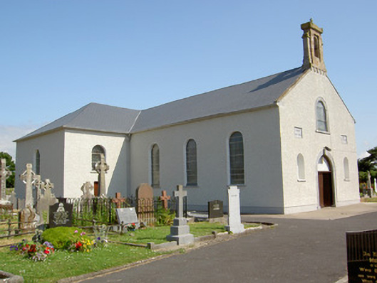 Saint Nicholas's Catholic Churchchurch/chapel · 1249 yd
 DeerparkWood · 1700 yd
 Nicholastown Castle (in ruins)Castle, tower house · 1.0 mi
 Deodar CedarDeodar Cedar · 1.3 mi
 Ballindoney Castle (in ruins)Castle, tower house · 1.5 mi
 Woodcock HillMountain / peak · 3.5 mi
 Grubb's IslandIslet · 4.6 mi
 Francis HopkinsMemorial · 4.7 mi
 John HackettMemorial · 4.7 mi
Other information
Photo: Credit not shown in the picture search · Rights wording not checked; contact us if this picture should be removed