
What is recorded here
On flat ground, sloping very gradually to E, under tillage (beet). An enclosure (TS082-096----) is located c. 120m to the SW. Identified as a rectangular cropmark on aerial photograph (ASIAP (28) 23). A dark green cropmark immediately E of the enclosure is a depression. The enclosure is not visible at ground level.
Compiled by: Jean Farrelly
Date of upload: 24 February 2014
The monument record does not grant public access. Check the route and ask the landowner before entering private land.
- What survives
- Recorded monument
Places near here
 Enclosure in Park (tullaghmelan Par.)Enclosure · 140 yd
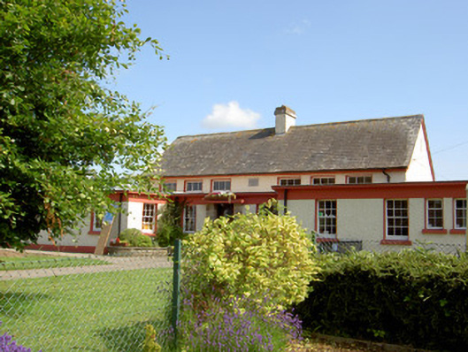 Grange National Schoolschool · 545 yd
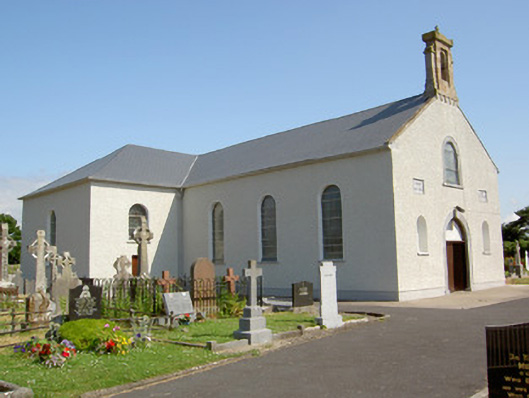 Saint Nicholas's Catholic Churchchurch/chapel · 795 yd
 Enclosure in BrickEnclosure · 855 yd
 Ballindoney Castle (in ruins)Castle, tower house · 1.2 mi
 DeerparkWood · 1.3 mi
 Hybrid Black PoplarHybrid Black Poplar · 1.3 mi
 Nicholastown Castle (in ruins)Castle, tower house · 1.4 mi
 Woodcock HillMountain / peak · 3.2 mi
 Grubb's IslandIslet · 4.9 mi
 Francis HopkinsMemorial · 5.1 mi
 John HackettMemorial · 5.1 mi
Other information
Photo: Credit not shown in the picture search · Rights wording not checked; contact us if this picture should be removed