What is recorded here
According to the Civil Survey (1654-6) the land at 'Buollengarran' was owned by 'Patricke English of Buollynagarran Gent: Irish Papist' in 1640 and 'Upon the sd lands stands a thatcht house with a chemny' (Simington 1931, vol. 2, 369). It was speculated that this house might be 'Ballygarrane House' as depicted on the 1st (1841) ed. OS 6-inch map. However, Ballygarrane House appears to be of mid-19th-century date and does not appear to incorporate any earlier features. The house referred to in the Civil Survey is unlocated within the townland.
Compiled by: Jean Farrelly
Date of upload: 26 August 2011
The monument record does not grant public access. Check the route and ask the landowner before entering private land.
- What survives
- Recorded monument
Places near here
 Enclosure in KillinureEnclosure · 1083 yd
 Enclosure in ScartanaEnclosure · 1108 yd
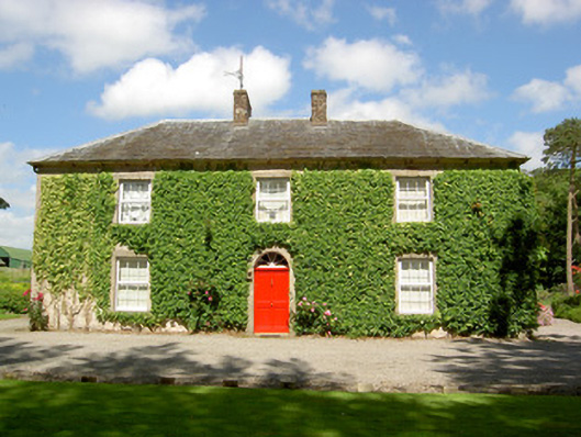 Farmly Househouse · 1318 yd
 CastleCastle, motte · 1351 yd
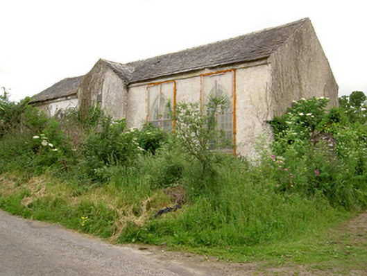 Tubbrid Schoolschool · 1607 yd
 Roosca CastleCastle · 1.3 mi
 Garrycloher WoodForest · 2.0 mi
 Pedunculate OakPedunculate Oak · 2.2 mi
 Woodcock HillMountain / peak · 2.7 mi
 Cahir CastleHeritage attraction · 3.5 miSiege of Cahir Castlesiege · 3.6 mi
 Caher AbbeyHeritage attraction · 3.8 mi