What is recorded here
According to the Civil Survey (1654-6) William or Alison Hoare owned a ‘faire thatched house’ at Ardenagh in 1640 (Simington 1953, 84). Its precise location is not known.
Compiled by: Michael Moore
Date of upload: 19 March, 2013
The monument record does not grant public access. Check the route and ask the landowner before entering private land.
- What survives
- Recorded monument
Places near here
 Enclosure in Ardenagh GreatEnclosure · 319 yd
 Church (in ruins)Church · 485 yd
 Site of CastleCastle, unclassified · 486 yd
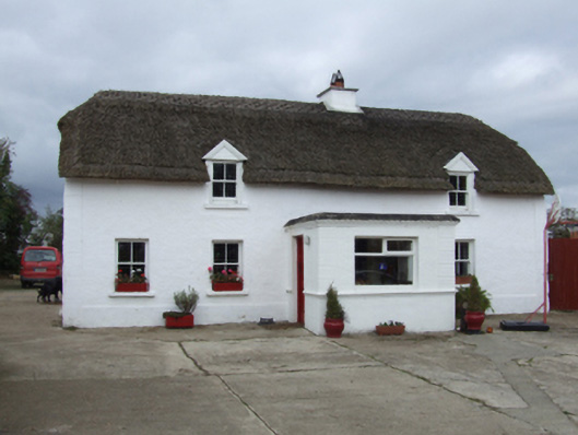 farm housefarm house · 515 yd
 TobershivaunHoly well · 738 yd
 Bawn in Tracystown WestBawn · 1.5 mi
 Coolcliffe HouseRuins · 1.9 mi
 Carrig-On-BannowVisitor information · 4.6 mi
 1798 MemorialMemorial · 4.6 mi
 Cullenstown StrandBeach / strand · 5.9 mi
 Carrickbyrne HillMountain / peak · 6.2 mi
 Ballymadder PointHeadland · 6.4 mi