What is recorded here
John O’Donovan writing c. 1840 identified the house (WX048-051----) marked on the Down Survey barony map (1656-8) at Allenstown (1) in St. Iberius' parish as a castle (O’Flanagan 1933, vol. 1, 303) and he was followed by Hore (1949, 48), but there is no evidence that the structure was a castle. Nicholas Turner owned 144 acres at Allenstown in 1640 (Simington 1953, 305). The Down survey parish map of St. Iberius’ parish (1656-8) in NLI (ms, 725; microfilm P7384; N6380) does show four small cottages in a cluster at Allenstown. For the Down Survey barony map see this web-page accessed on 2 January, 2014: http://downsurvey.tcd.ie/down-survey-maps.php#bm=Forth&c=Wexford. The precise location of this house is not known.
Compiled by: Michael Moore
Date of upload: 2 January, 2013
The monument record does not grant public access. Check the route and ask the landowner before entering private land.
- What survives
- Recorded monument
Places near here
 Enclosure in Allenstown BigEnclosure · 89 yd
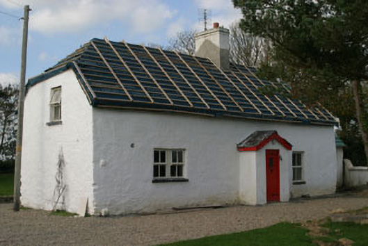 Finn's Cottagehouse · 292 yd
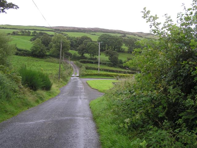 RoadRoad, road/trackway · 429 yd
 St. Catherines WellHoly well · 597 yd
 ScargeenIsland · 1.2 mi
 Lady's IslandVisitor information · 1.2 mi
 TowerBawn · 1.3 mi
 InishIsland · 1.5 mi
 Ballymacane CastleCastle, unclassified · 1.6 mi
 Wilson's MoorWood · 2.4 mi
 Shernock Hill/Knocks HillMountain / peak · 2.5 mi
 Rosslare Harbour Maritime Heritage CentreMuseum · 2.6 mi