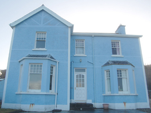
What is recorded here
Detached three-bay two-storey house on L-shaped plan, built c. 1910, having advanced two-storey gable-fronted bay to the north-east end of the front elevation (north) having single-bay single-storey canted bay at ground floor level to north, and with single-bay single-storey canted bay to the west end of the front…
Read the whole record
From the Buildings of Ireland (National Inventory of Architectural Heritage) record 40831003
Places near here
Photo credits
- National Inventory of Architectural Heritage
- Maker not stated on source page, br.pinterest.com
- Maker not stated on source page, commons.wikimedia.org
- Golfing in Ireland; photographer not stated, Source publisher
- Mhdelaney, Wikimedia Commons · CC BY-SA 4.0
- Maker not stated on source page, www.pinterest.com
- Maker not stated on source page, yandex.ru
- Mac McCarron, Geograph · CC BY-SA 2.0
- Bart Whelan, Wikimedia Commons · CC BY-SA 2.0
- Rev. Joseph Turner (circa 1772 date QS:P,+1772-00-00T00:00:00Z/9,P1480,Q5727902 – 1835), Wikimedia Commons · Public domain
- Maker not stated on source page, www.dreamstime.com
 post box114 yd
Explorer Tom Post box in Naran, erected c.1930, wears a raised P & T monogram in Gaelic script on its top moulding. That little…
 Standing stone in Clooney (maas Ed)Standing stone · 200 yd
Explorer Tom Standing stone in Clooney was known as Magheranakilla on old maps, located at the SW end of Tramore strand. Shifting…
 Former Clooney GraveyardGraveyard · 207 yd
Explorer Tom Former Clooney Graveyard is one of those map dots that asks for honesty: an older six-inch map marked it, but the…
 water pump215 yd
Explorer Tom Water pump in Naran was erected around 1880 with a fluted iron shaft, a bucket stand and a domed cap. The old inventory…
 Narin & Portnoo Golf ClubGolf course · 384 yd
 Narin–Portnoo StrandOfficial bathing water · 467 yd
Explorer Tom Narin–Portnoo Strand is so bright on a clear day that I suspect Donegal polishes it before visitors arrive. White sand…
 Mapped graveyardGraveyard · 491 yd
Explorer Tom Mapped graveyard in County Donegal would post a selfie with its headstone and caption it 'living my best life' every…
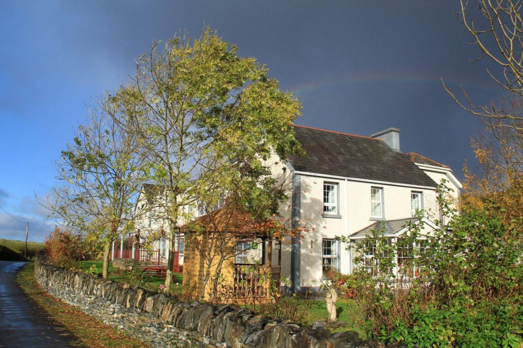 Lake House HotelHotel · 1272 yd
Explorer Tom Lake House Hotel in County Donegal pretends to be a lake house but is just near water. A love story went badly wrong…
 InishkeelIslet · 1417 yd
Explorer Tom Inishkeel has old churches and carved cross slabs, which sounds like a fine island hunt to me. Then Heritage Ireland…
 Doon FortFairy fort / stone ringfort · 1580 yd
Explorer Tom Doon Fort is claiming its best mate is actually a very confused dolphin who gets lost in Doon Lough every summer. It’s…
 Kilclooney More Court TombCourt tomb · 1.4 mi
Explorer Tom Kilclooney More Court Tomb was actually drawn by William Burton Conyngham in 1799, back when its lintel was still…
 Eire 73 signSecond World War neutrality sign · 1.7 mi
Explorer Tom Eire 73 sign in County Donegal has a bird that refuses to leave its roof because it likes the view of the sea and…
More historic places in County Donegal · All of County Donegal

What do you know about this place?Tap to add a comment or ask a question