
What is recorded here
Detached three-bay single-storey house with half-dormer attic level house/farmhouse, built c. 1820 and altered c. 1890, having single-bay single-storey extension attached to the north-west gable end. Pitched natural slate roof with smooth rendered chimneystacks to gable ends (north-west and south-east) with corbel course and cast-iron rainwater goods. Three gable-fronted dormers at attic level to front (north-east) having rendered coping over. Corrugated-metal roof to single storey extension to the north-west. Roughcast rendered walls over smooth rendered plinth course and with raised render block-and-start v-jointed quoins to the corners of the main block. Square-headed window openings with two-over-two pane timber sliding sash windows with exposed sash boxes, stone sills and with decorative smooth rendered surrounds. Central square-headed door opening with plinth blocks to base, timber panelled door, and with decorative smooth rendered surround. Set slightly back from road, below road level, to the south-east of Ballintra. Small yard to front (north-east) and garden to the rear (south-west). Attached single-storey outbuilding to the north-west having pitched corrugated metal roof, painted rubble stone walls, and square-headed doorways having battened timber doors.
This well-proportioned and well-maintained, if modest, house retains its early form and character to the main elevation (north-east). Its visual expression and form are enhanced by the retention of its early fabric including timber sliding sash windows, timber panelled door, and natural slate roof. The plain main elevation is enlivened by the simple render surrounds to the openings and the bold rendered quoins to the corners. A building is depicted here on the 1837 map of the area (Ordnance Survey first edition six-inch map) so it is likely that this is an example of a single-storey vernacular house that was later raised by a storey/dormer level, perhaps at the end of the nineteenth century. Buildings of this type were, until recent years, a common feature of the rural Irish landscape but are now becoming increasingly rare survivals due to insensitive alteration and/or demolition, which makes this example at Pollnaranny an interesting example of its type and date. This building makes a positive contribution to the rural landscape to the south-east of Ballintra, and is an addition to the built heritage of the local area. The simple rubble stone outbuilding to the north-west, which probably dates to the early-nineteenth century, adds to the setting and context and completes this appealing if unassuming composition.
This does not grant access. Most recorded buildings are privately owned; view them only from public ground unless the owner allows entry.
Places near here
 Lough Rath Bridgebridge · 411 yd
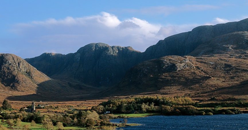 Ballydermot Earthen RingfortFairy fort / earthen ringfort · 1.4 mi
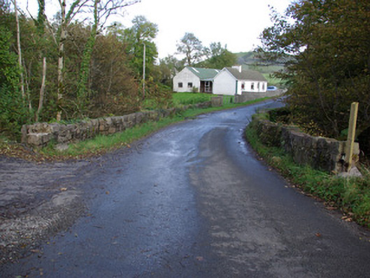 Rath Bridgebridge · 1.7 mi
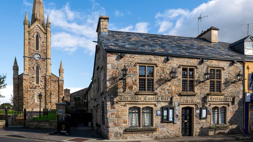 Rath Hilltop Fairy FortFairy fort / earthen ringfort · 1.9 mi
 Castle (Site of)Castle, unclassified · 3.9 mi
 HawthornHawthorn · 4.3 mi
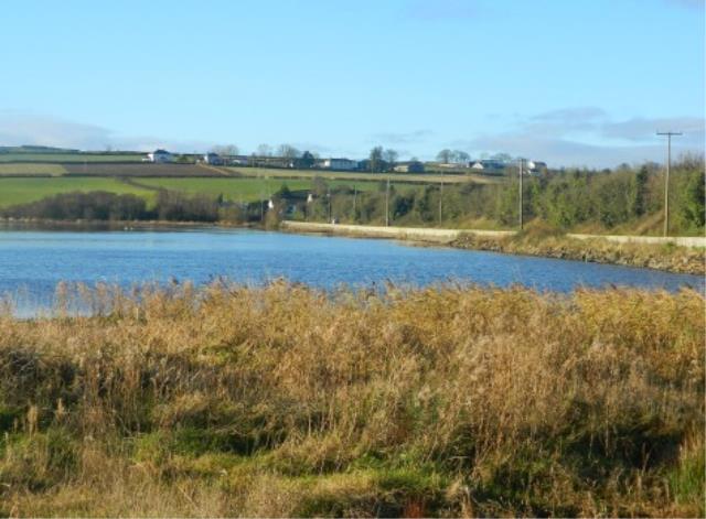 Pettigo Plateau Nature ReserveNational nature reserve · 5.2 mi
 Rooney's IslandIslet · 5.3 mi
 MurvaghOfficial bathing water · 5.3 mi
 Ballyboyle IslandIslet · 5.9 mi
 Ballyboyle Castle (Site of)Castle, tower house · 6.2 mi
 RossnowlaghOfficial bathing water · 6.8 mi
Other information
Photo: National Inventory of Architectural Heritage · Website use allowed for educational or private purposes with source credit