What is recorded here
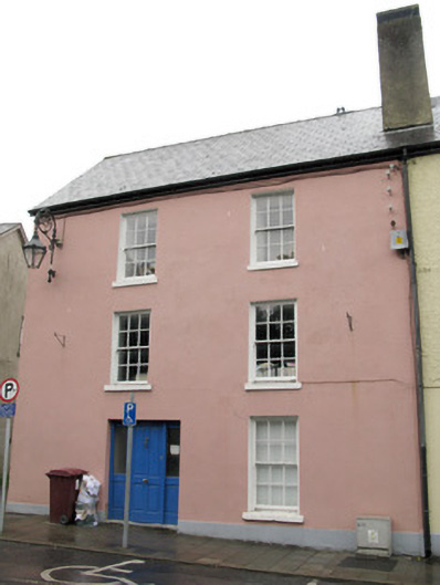
End-of-terrace two-bay three-storey former house, built c. 1840. Now in use as office. Pitched slate roof with roughcast rendered chimneystack, timber clad eaves course and uPVC rainwater goods. Lined-and-ruled rendered walls with rendered plinth to front (south) elevation, having rendered wall with platband to side (west) elevation and roughcast rendered wall to rear (north) elevation. Wrought-iron street lamp attached to front elevation. Square-headed window openings with rendered sills throughout, having six-over-six pane timber sliding sash windows to front elevation. One-over-one pane timber sliding sash window to ground floor of side (west) elevation. Replacement timber casement windows to elsewhere. Square-headed door opening with tooled limestone steps to front elevation, having timber panelled door flanked by glazed timber sidelights. Single-storey outbuilding to north within enclosed yard, having pitched slate roof and exposed rubble stone walls. Square-headed window openings with red brick sills and timber battened fittings. Exposed rubble stone walls enclosing yard with render coping, having square-headed carriageway opening with dressed limestone voussoirs and double-leaf metal doors. Located fronting onto street.
Located overlooking the River Arra, this well maintained moderately sized town house is an integral part of an impressive terrace. The building has maintained much of its historic character through the retention of key architectural features including fine timber sash windows and an associated outbuilding.
This does not grant access. Most recorded buildings are privately owned; view them only from public ground unless the owner allows entry.
Places near here
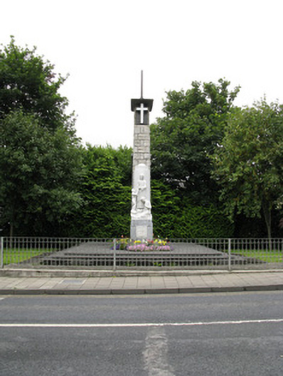 monumentmonument · 44 yd
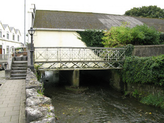 foot bridgefoot bridge · 58 yd
 Templars Castle (in ruins)Castle, Anglo-Norman masonry castle · 162 yd
 Burial GroundGraveyard · 1011 yd
 Enclosure in Castle DemesneEnclosure · 1092 yd
 Castle MahonCastle · 2.8 mi
 Limerick GreenwayWalking route · 3.5 mi
 St. Luke's WellSpring · 4.2 mi
 Sugar HillMountain / peak · 4.7 mi
 Saint Ite's WellSpring · 4.7 mi
 European ashEuropean ash · 4.9 mi
 Ballagh MountainMountain / peak · 5.9 mi
Other information
Photo: National Inventory of Architectural Heritage · Website use allowed for educational or private purposes with source credit