
What is recorded here
In a large pasture field, a distinct ovoid feature (c. 18m N-S; 13.m E-W). There is a similar circular feature (diam c. 14m) c. 50m to the NE. Visible on digital globe imaging accessed 20 June 2023.
Compiled by: Matt Kelleher
Date of upload/revision: 20 June 2023
The monument record does not grant public access. Check the route and ask the landowner before entering private land.
- What survives
- Recorded monument
Places near here
 Burial GroundGraveyard · 203 yd
 Church (in ruins)Church · 210 yd
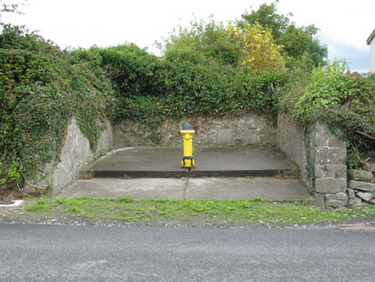 water pumpwater pump · 408 yd
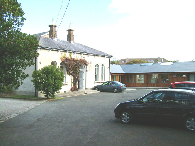 Enclosure in ChurchtownEnclosure · 529 yd
 Templars Castle (in ruins)Castle, Anglo-Norman masonry castle · 965 yd
 Limerick GreenwayWalking route · 3.0 mi
 Castle MahonCastle · 3.4 mi
 St. Luke's WellSpring · 3.9 mi
 Sugar HillMountain / peak · 4.3 mi
 St. Kieran's WellSpring · 4.8 mi
 European ashEuropean ash · 5.2 mi
 Ballagh MountainMountain / peak · 6.3 mi
Other information
Photo: Credit not shown in the picture search · Rights wording not checked; contact us if this picture should be removed