What is recorded here
In pasture, on gentle W-facing slope. Roughky D-shaped area (12m N-S; 14m E-W) defined by scarped edge (H 0.4m; Wth 3.7m) which is more pronounced at S (H 0.9m; Wth 5.5m) and straightens along W side. External fosse (D 0.4m; Wth 8.4m) evident NW-NE, ESE-SE and S-WSW, but crossed by shallow dry gulley SE-S. Possible causeway across scarp at NW. Interior, under pasture, slopes down gently to E.
From the National Monuments Service (Archaeological Survey of Ireland) record LI036-207
The monument record does not grant public access. Check the route and ask the landowner before entering private land.
- What survives
- Recorded monument
Places near here
Photo credits
- National Inventory of Architectural Heritage
- Mike Searle, Wikimedia Commons · CC BY-SA 2.0
- Created by Kglavin Modified Aug 2007 by Mike Christie, Wikimedia Commons · CC BY-SA 3.0
- Garry Dickinson, Geograph · CC BY-SA 2.0
- Willow, Wikimedia Commons · CC BY 2.5
- A.-K. D., Wikimedia Commons · CC BY-SA 4.0
- jonleebotany, Wikimedia Commons · CC0
 bridge282 yd
 Dooally BridgeBridge · 450 ydBurial GroundGraveyard · 483 yd
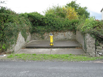 water pump739 yd
 Churchtown HouseCountry house · 881 yd
,_Newcastle_West,_Limerick_-_geograph.org.uk_-_1392672.jpg/250px-Castles_of_Munster,_Desmond_Hall_(Castle_Banqueting_Hall),_Newcastle_West,_Limerick_-_geograph.org.uk_-_1392672.jpg "Photo: Mike Searle, Wikimedia Commons · CC BY-SA 2.0") Templars Castle (in ruins)Castle, Anglo-Norman masonry castle · 1381 yd
Templars Castle (in ruins)Castle, Anglo-Norman masonry castle · 1381 yd Ardagh FortArchaeological place · 2.3 miLimerick GreenwayWalking route · 3.1 mi
 Castle MahonCastle · 3.6 mi
 European ash5.0 mi
 Saint Ite's WellSpring · 5.4 mi
 Lawson's Cypress8.7 mi
More archaeology and monuments in County Limerick · All of County Limerick
What do you know about this place?