What is recorded here
Excavated in advance of construction of the N9/N10 Kilcullen-Waterford Road (Excavation Licence number E2591, Site B, area 2, 'structure B'). Seventeen postholes formed an outer sub-circular structure with seven possible internal postholes, one stakehole, two areas of burning and one pit. In total twelve pottery sherds were recovered from this structure dating to the Late Neolithic/Early Bronze Age. A radio carbon date of BC 3607-3522 was obtained from one of the internal postholes, which also contained three pottery sherds from a single vessel dating to the Late Neolithic/Early Bronze Age period. This structure was found immediately to the E of a possible Bronze Age House (see also CW007-137----). (Doyle T. 2009, 24-26)
Compiled by: Jean Farrelly
Date of upload: 09 June 2014
The monument record does not grant public access. Check the route and ask the landowner before entering private land.
- What survives
- Recorded monument
Places near here
 Rathcrogue Househouse · 431 yd
 Enclosure in KilmeanyEnclosure · 987 yd
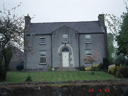 Green Househouse · 1096 yd
 Pedunculate OakPedunculate Oak · 1114 yd
 Enclosure in TinrilandEnclosure · 1122 yd
 Site of CastleCastle, unclassified · 1360 yd
 Graigue Castle in ruinsCastle, unclassified · 1.6 mi
 Brownshill Portal TombVisitor information · 2.5 mi
 Kilmurry Church (in ruins), GraveyardChurch · 2.8 mi
 Church (in ruins), GraveyardChurch · 3.2 mi
 Carlow County MuseumMuseum · 3.2 mi
 White willowWhite willow · 3.3 mi