What is recorded here
On the edge of a shallow depression, which appears to have been a lake or marsh, on a flat platform above the flood plain of the River Suir, which flows E-W c. 850m to the S. A Neolithic house (dims. c. 8.5m ENE-WSW x 8m NNW-SSE) was uncovered during archaeological testing in advance of a proposed development (Lennon 2007). The house was delimited by a foundation trench within which were set a series of stake-holes of squared upright posts. Each corner is defined by a large post-hole. Two other post-holes were associated with the house, one (diam. 0.2m) inside the eastern edge of the foundation trench and another (diam. 0.5m) outside the house. A possible internal slot trench (Wth 0.15m) was uncovered 0.2m S of the foundation trench. Finds included flint and chert waste flakes, cores and debitage, indicating that arrowheads were being produced at the site. This assemblage has been dated to the beginning of the Middle Neolithic period. Fragments of carinated Neolithic pottery were also recovered which appear to represent several vessels. A soil sample yielded grains of emmer wheat, some charcoal remnants from an oak species and a charred hazelnut shell. The latter was used to obtain a radiocarbon date, which calibrated dated to between 3377 and 3634 B.C.
Compiled by: Jean Farrelly
Date of upload: 07 June 2012
The monument record does not grant public access. Check the route and ask the landowner before entering private land.
- What survives
- Recorded monument
Places near here
 CastleCastle, ringwork · 378 yd
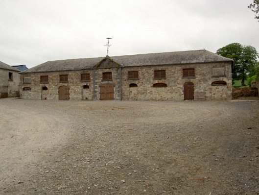 Marlfield Farmfarmyard complex · 735 yd
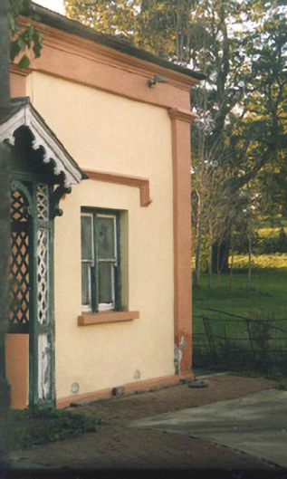 Oaklandsgate lodge · 789 yd
 Common LimeCommon Lime · 901 yd
 European ashEuropean ash · 933 yd
 Enclosure in Barn Demesne (inishlounaght Par.)Enclosure · 993 yd
 Patricks WellHoly well · 1067 yd
 Crusader's GraveHeritage attraction · 1423 yd
 Greenan Castle (in Ruins)House, fortified house · 1.4 mi
 Kilmacomma HillMountain / peak · 1.4 mi
 Toberaheena WellSpring · 1.5 mi
 Siege of Clonmelsiege · 2.0 mi