What is recorded here
The remains of a house were partially uncovered during an archaeological excavation and consisted of a shallow curvilinear foundation trench edged with kerbstones, enclosing an area which contained several shallow pits, post-holes and a hearth. A radiocarbon date for the structure places its use in the 13th century. A similar house (CO044-091----) was discovered 28m to the S. (Quinn 2006a; 2006b)
The above description is derived from 'The Archaeological Inventory of County Cork. Volume 5' (Dublin: Stationery Office, 2009).
Date of upload: 22 December 2009
The monument record does not grant public access. Check the route and ask the landowner before entering private land.
- What survives
- Recorded monument
Places near here
 IndicatedHouse, vernacular house · 987 yd
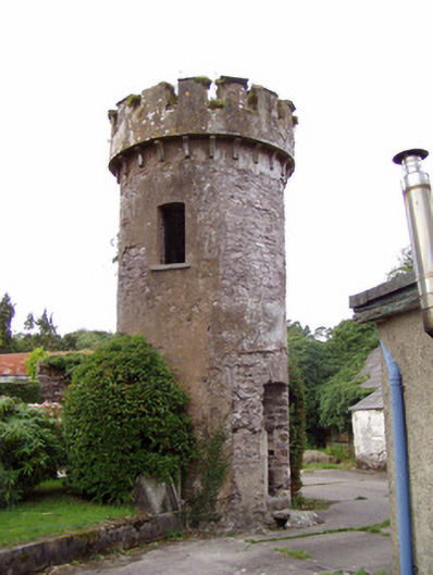 Ballynahina Housefolly · 1320 yd
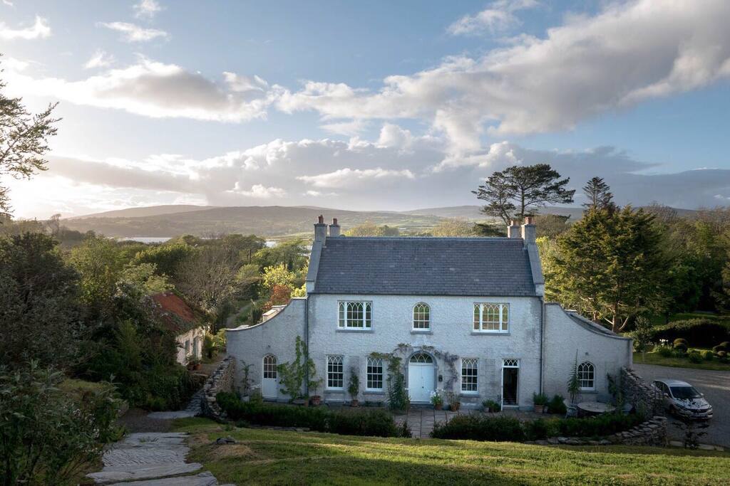 Hearth in CorrinHearth · 1.1 mi
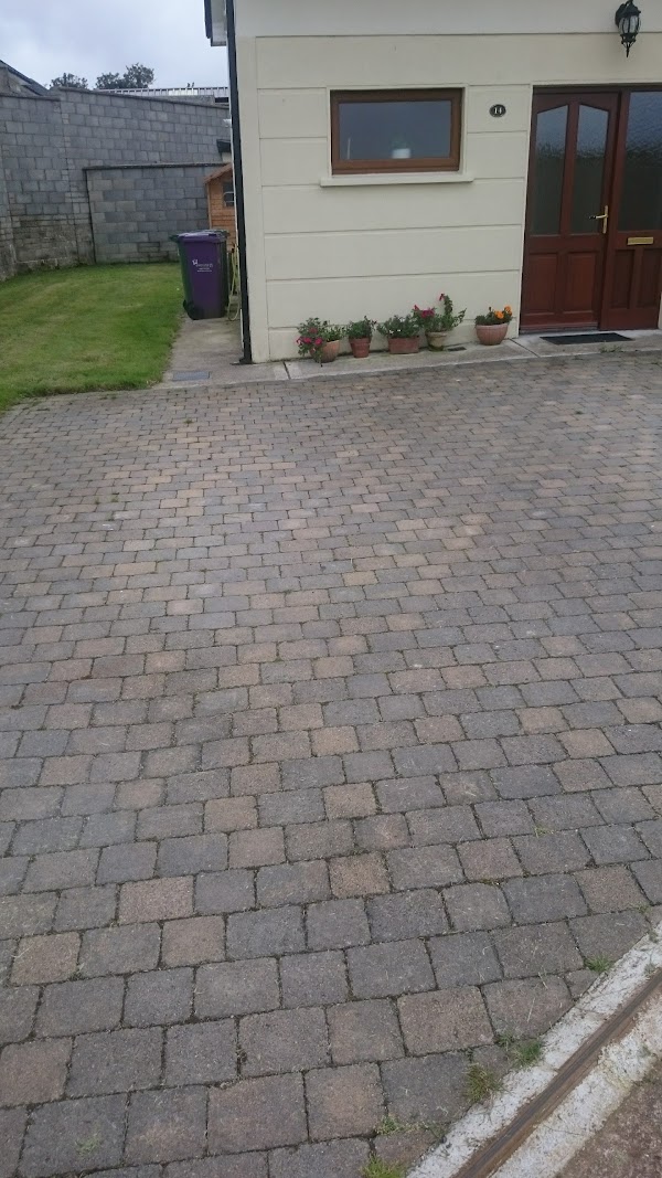 Enclosure in CorrinEnclosure · 1.3 mi
 Corrin WoodsWood · 1.5 mi
 Coolmucy WoodWood · 2.1 mi
 Tower (in Ruins)Bawn · 2.2 mi
 Cappagh XViewpoint · 2.9 mi
 Graveyard in FermoyGraveyard · 3.0 mi
 Tourist InformationVisitor information · 3.1 mi
 Kent BridgeMemorial · 3.1 mi
 Carrigabrick Castle (in Ruins)Castle, tower house · 3.7 mi