
What is recorded here
The remains of this medieval house were discovered in the course of excavations undertaken in 1992 (license no. 92E0010; Hayden 1993). The building proved to be of 13th- or 14th-century date and measured 8.6m east-west by 4m north-south internally and had walls up to 0.95m in thickness, standing to a maximum height of 0.60m. The building is likely to have had more than one storey judging from the stoutness of the walls and the entrance was situated at its east end. Three floor levels were uncovered in the interior and took the form of mortar or clay floors with associated occupation deposits. Initially the ground floor may have been a single room but during a second phase, when the second floor level was laid, it was divided into two rooms by a stone footing presumably carrying a wooden superstructure. The building was set in a trench partly cut into the rising ground below the cliff to the south and water seeping down the cliff face appears to have been a problem. This was alleviated by the construction of underfoot drains and a sump at the second level. The building appears to have gone out of use and been demolished by the 15th or 16th century possibly as a result of the area being inundated by the sea when large sand banks were laid down (Hayden 1993).
Compiled by: Paul Walsh
Date of upload: 23 June 2015
The monument record does not grant public access. Check the route and ask the landowner before entering private land.
- What survives
- Recorded monument
Places near here
 Gyd.Church · 50 yd
 Saint Mary's Abbeygraveyard/cemetery · 54 yd
 IndicatedGraveyard · 70 yd
 Ye Olde Hurdy-Gurdy (Museum of Vintage Radio)Heritage attraction · 126 yd
 Martello TowerMartello tower · 133 yd
 The Old CourthouseHeritage attraction · 371 yd
 Howth Tourism Information KioskVisitor information · 414 yd
 George IV's footstepsMemorial · 609 yd
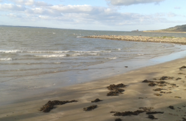 Claremont BeachBeach / strand · 735 yd
 Cliffs of HowthViewpoint · 1053 yd
 Howth Black Linn LoopWalking route · 1083 yd
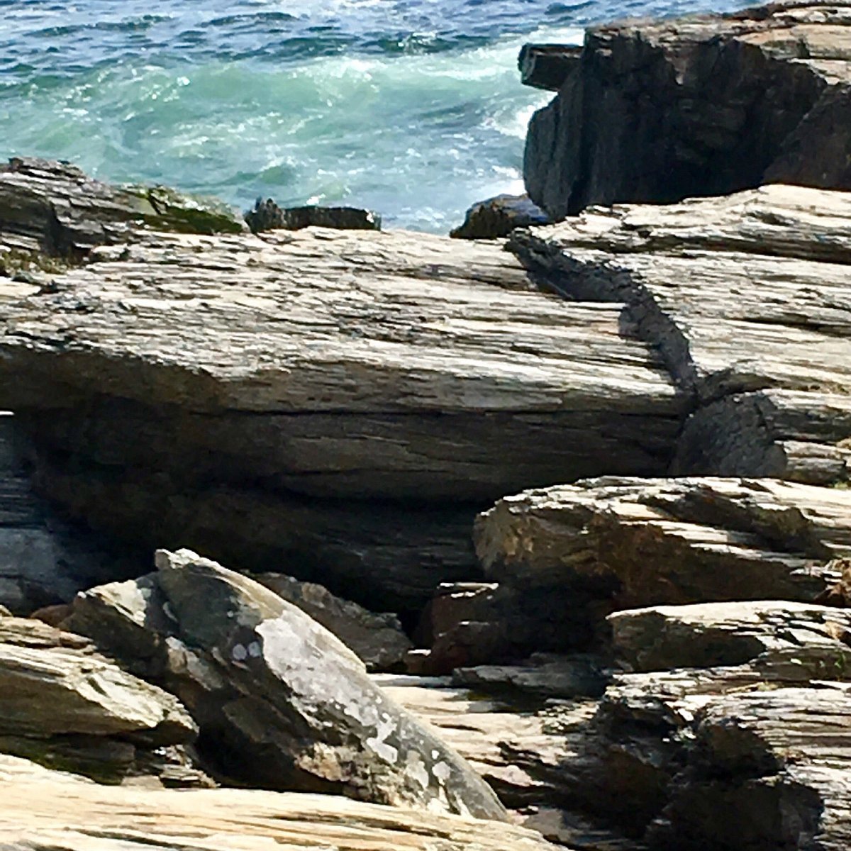 Cannon RockNamed rock · 1146 yd
Other information
Photo: Credit not shown in the picture search · Rights wording not checked; contact us if this picture should be removed